Ground uncertainty
Understand subsurface conditions before drilling, excavation or design commitments.
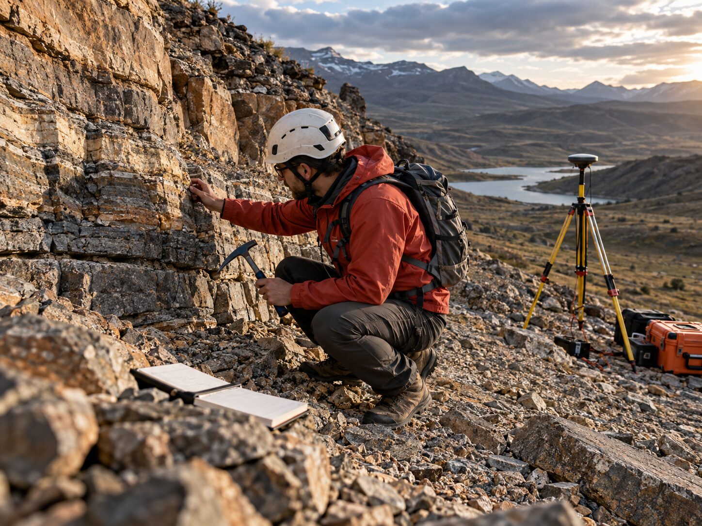
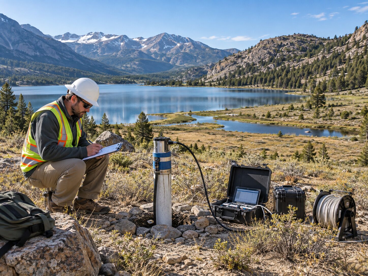
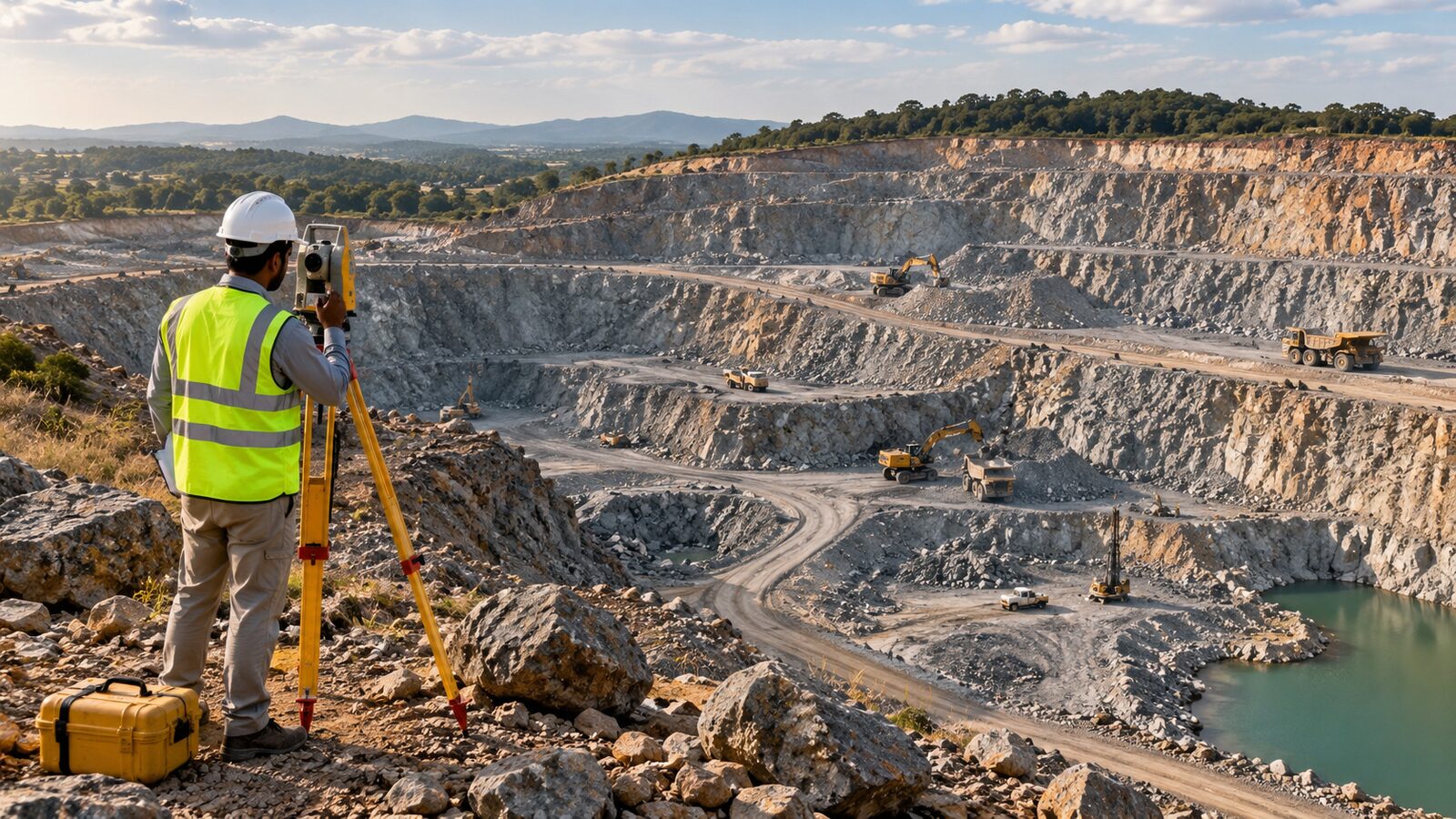
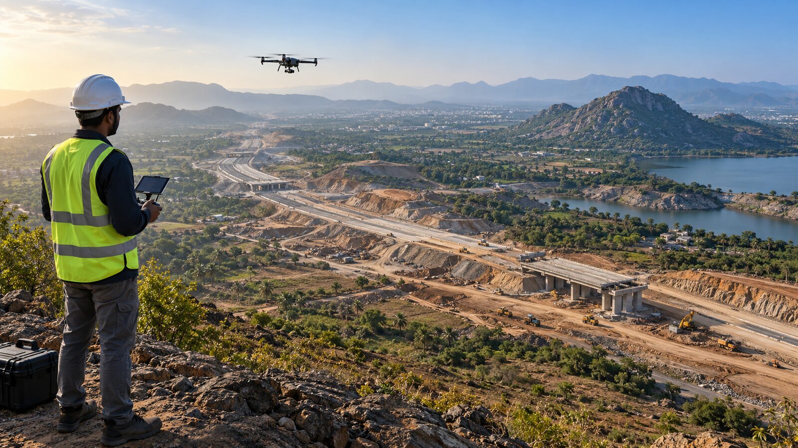
Integrated geological, geophysical, geotechnical, hydrogeological, surveying, drone, LiDAR, GIS and infrastructure solutions — connected to the project decision that needs to be made.
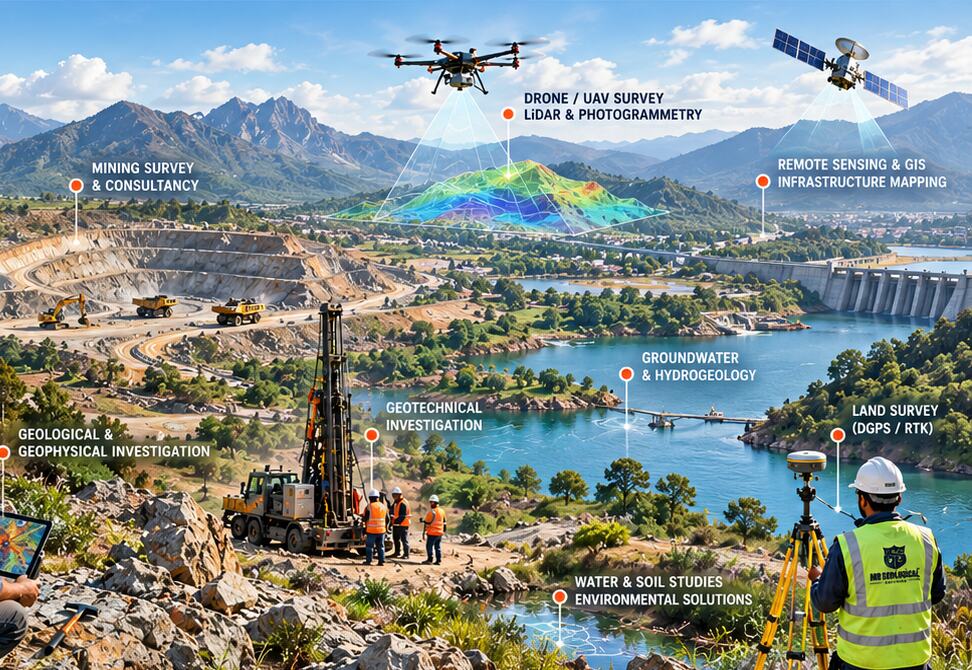
MR Geological Solutions (OPC) Private Limited is a multidisciplinary geoscience and engineering consultancy connecting geology, groundwater, geotechnical investigation, surveying and geospatial analysis within one coordinated project workflow.
*Company-history facts should be confirmed by management before production launch.
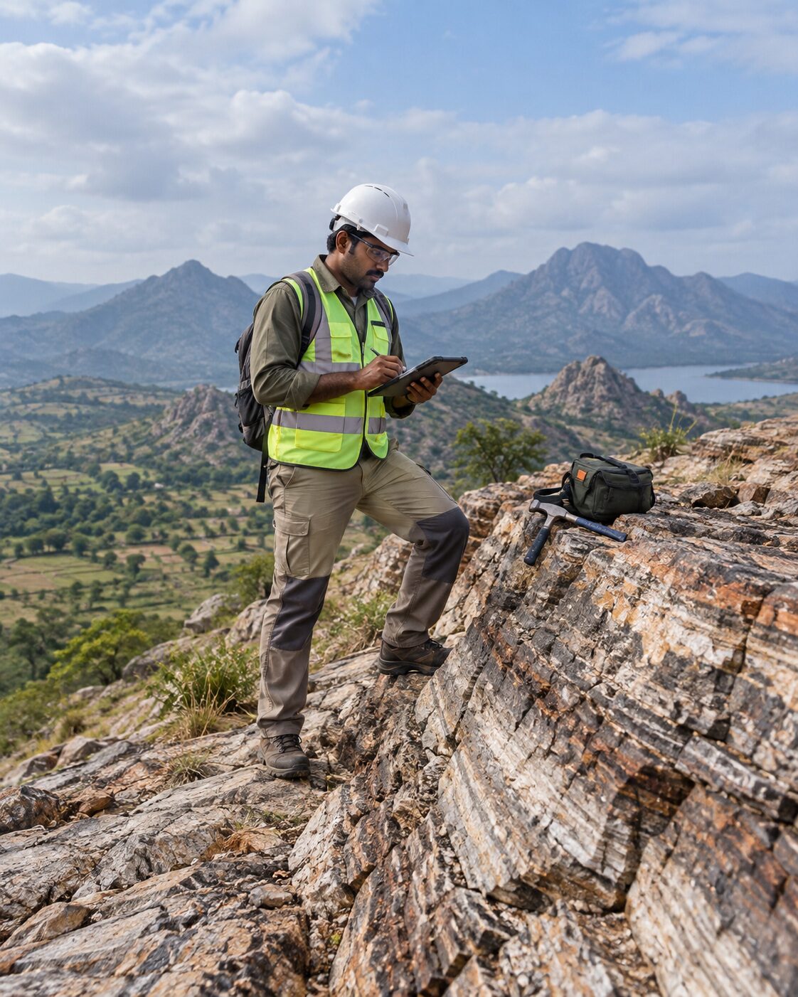 Explore
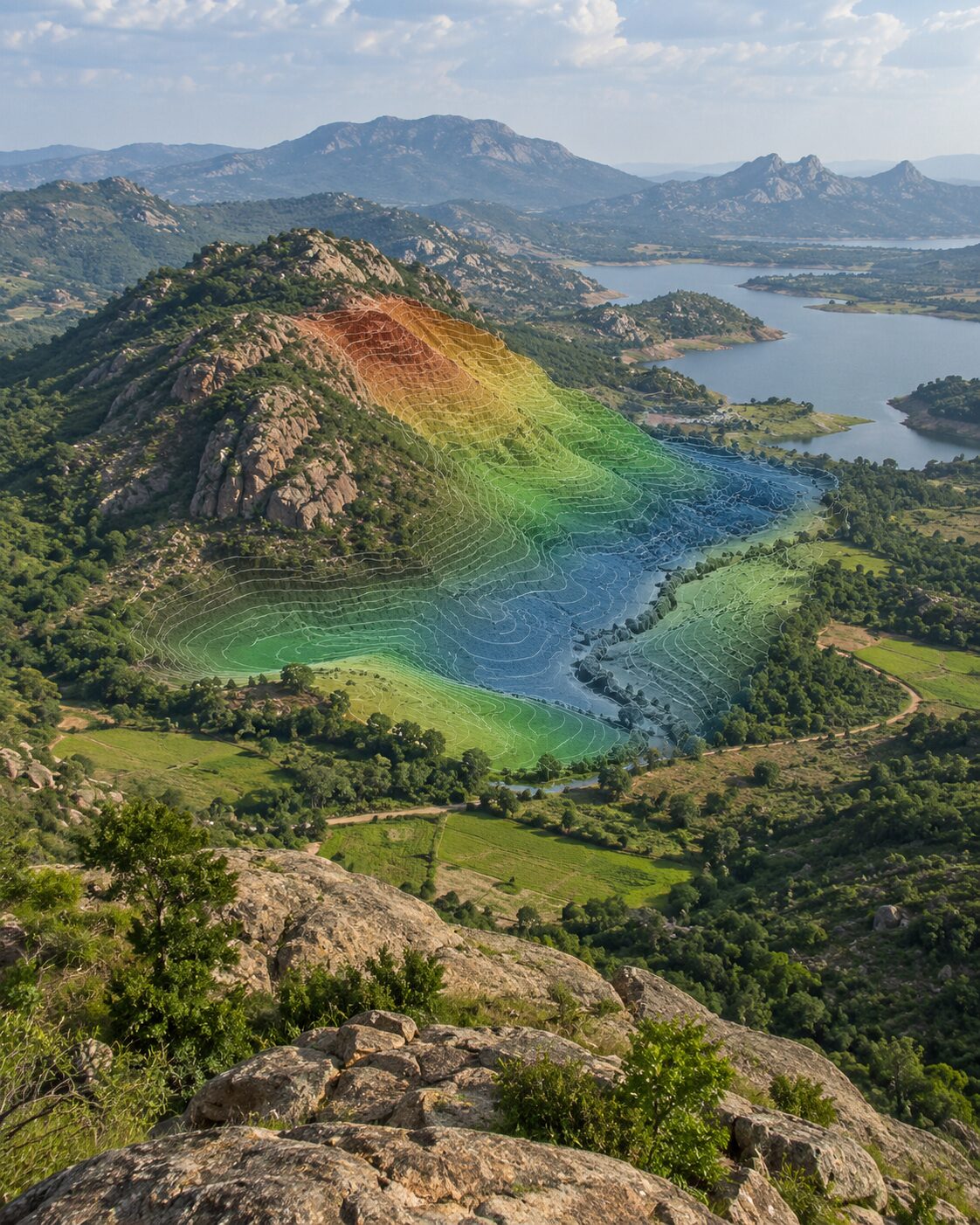 Analyze
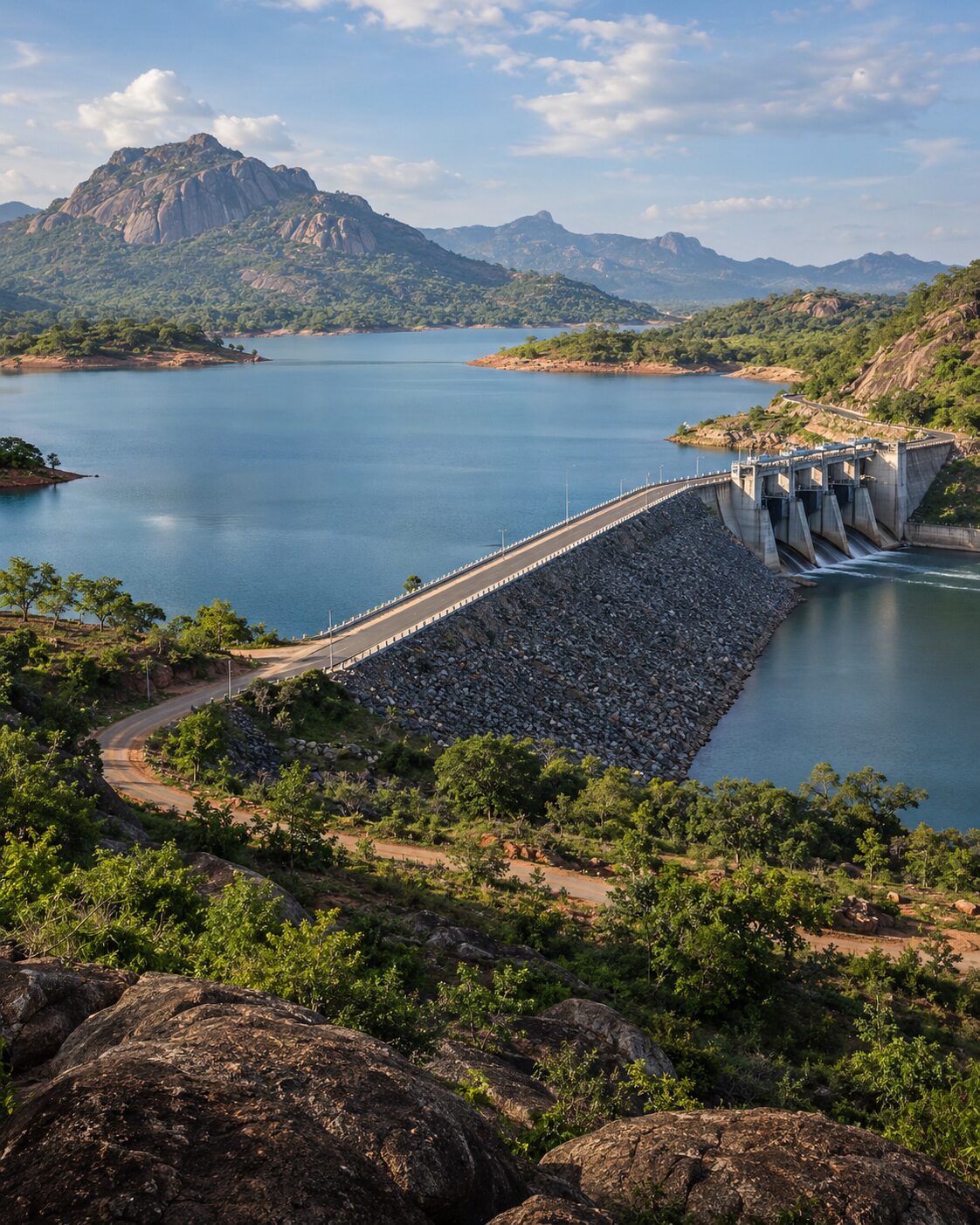 Plan
Plan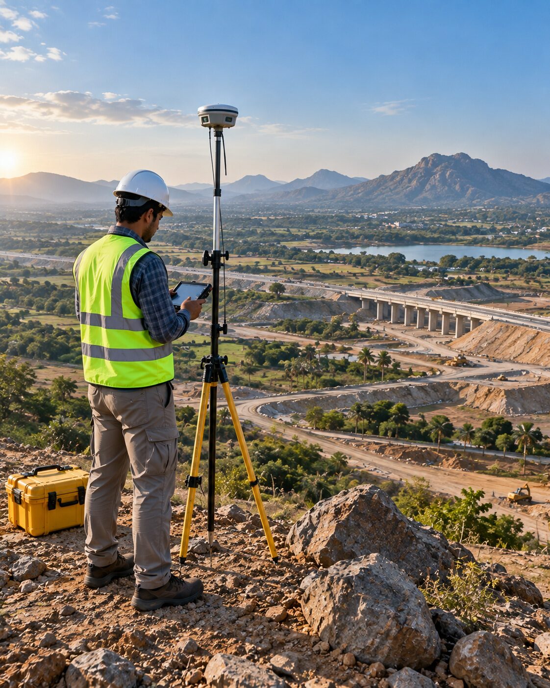 Build
BuildUnderstand subsurface conditions before drilling, excavation or design commitments.
Assess groundwater context, aquifer conditions and recharge factors with appropriate evidence.
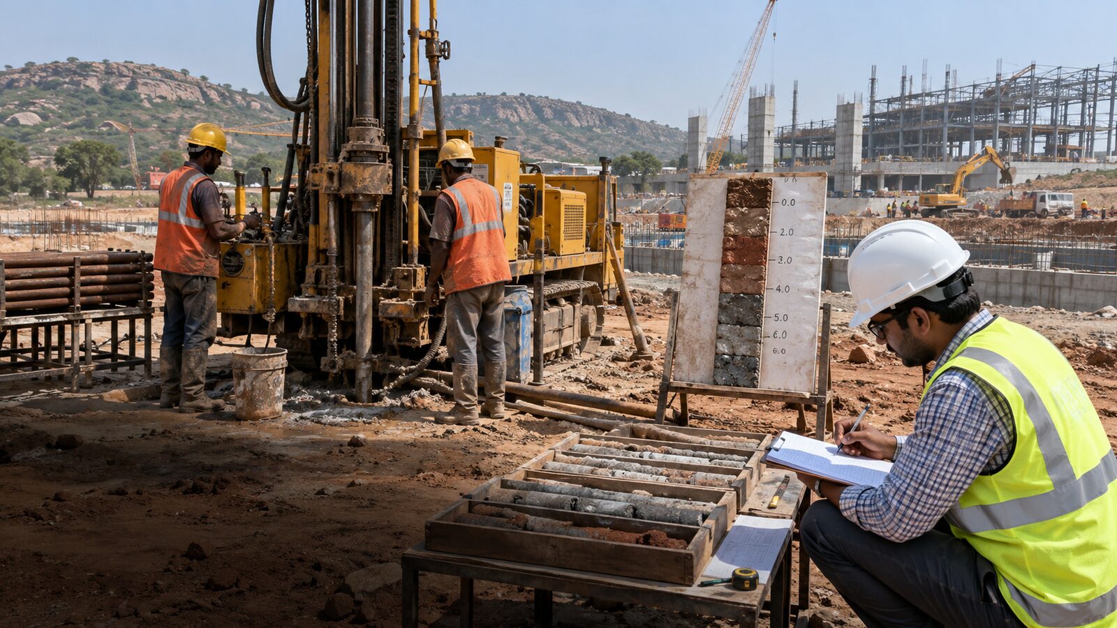
Investigate ground conditions that influence foundations, earthworks and infrastructure.
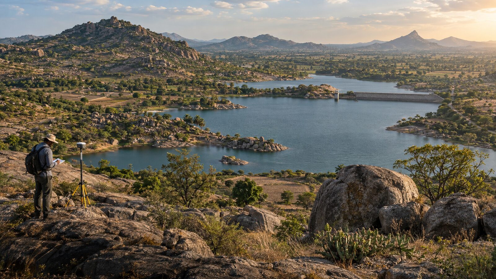
Establish coordinates, levels, boundaries and terrain information for planning and engineering.
Convert drone, LiDAR, imagery and field observations into usable spatial outputs.
Bring geology, survey and geospatial information together in one coordinated technical workflow.
MRGS capabilities are organized together on the Expertise hub. Priority disciplines receive dedicated deep-dive pages with methodology, deliverables, applications and practical FAQs.
Explore all expertise →Browse the Project Experience page to view uploaded project cards organized by project category.
View Project Experience →Established in 2013 with a focus on field investigation and spatial analysis for project decisions.
Incorporated as MR Geological Solutions (OPC) Private Limited with CIN U74999TN2022OPC152609.
Eleven interconnected disciplines spanning geology, groundwater, geotechnical, mining, surveying and geospatial analysis.
Five core disciplines with dedicated deep-dive pages featuring methodology, deliverables and FAQs.
A structured six-step workflow connects your project objective to clear, decision-ready technical outputs.
Start your project →Project objective, site context, available information and required output — defined before any field work begins.
Existing records, maps, coordinates and geological data reviewed to design a fit-for-purpose investigation methodology.
Survey, observation, sampling or data capture executed according to scope with professional-grade equipment.
Data processing, interpretation, correlation and quality checks performed to extract actionable insights.
Maps, datasets, drawings, reports and project-specific outputs delivered in project-ready formats.
Results, limitations and next technical steps explained in a form project teams can use immediately.
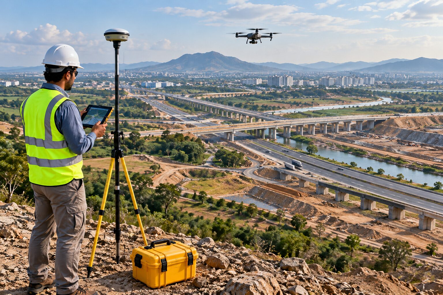
Roads, corridors, utilities and public works
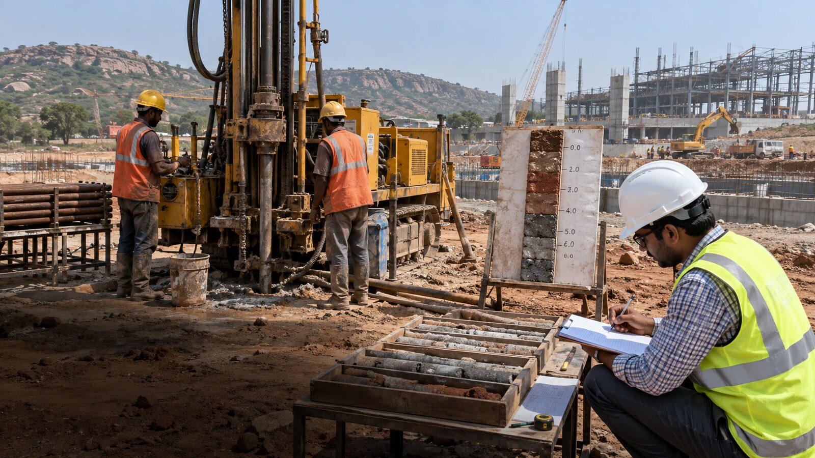
Buildings, industrial facilities and site development
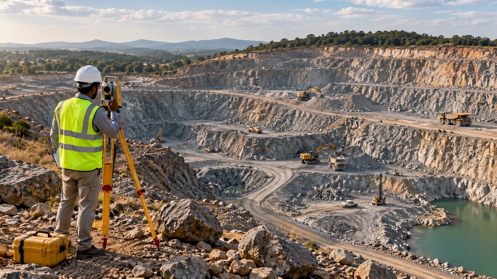
Surveying, geological context and terrain / quantity workflows
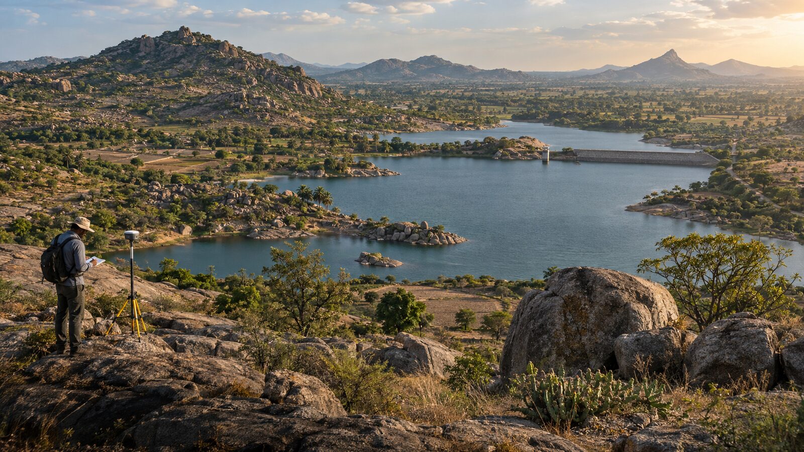
Groundwater, recharge, watershed and water-related studies
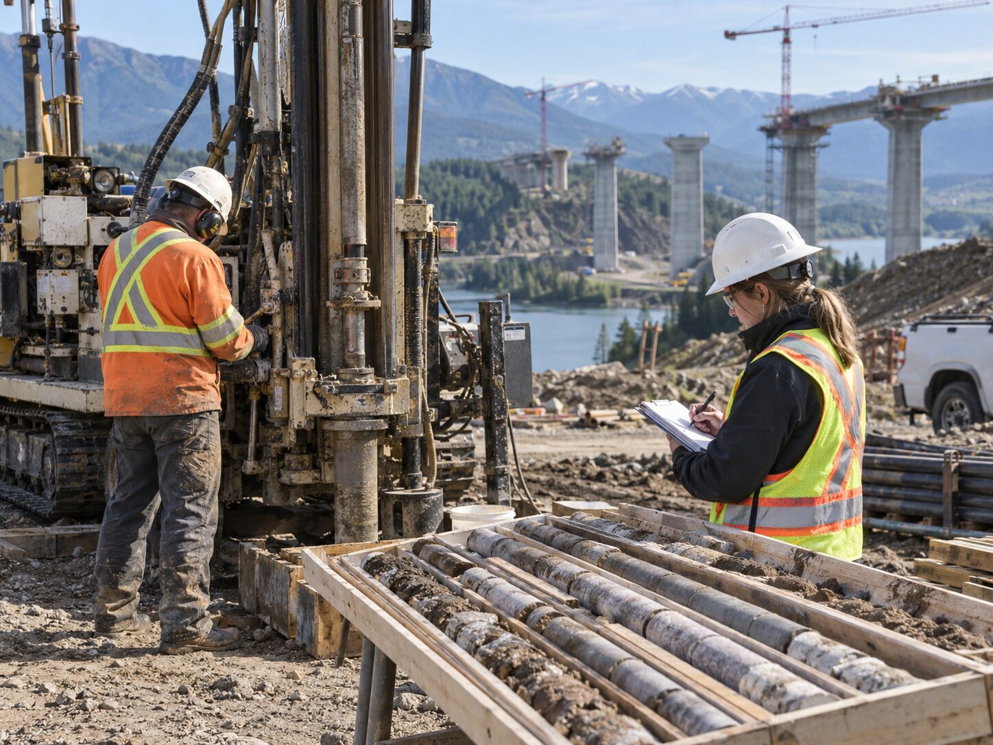
Site investigation, survey control and technical mapping
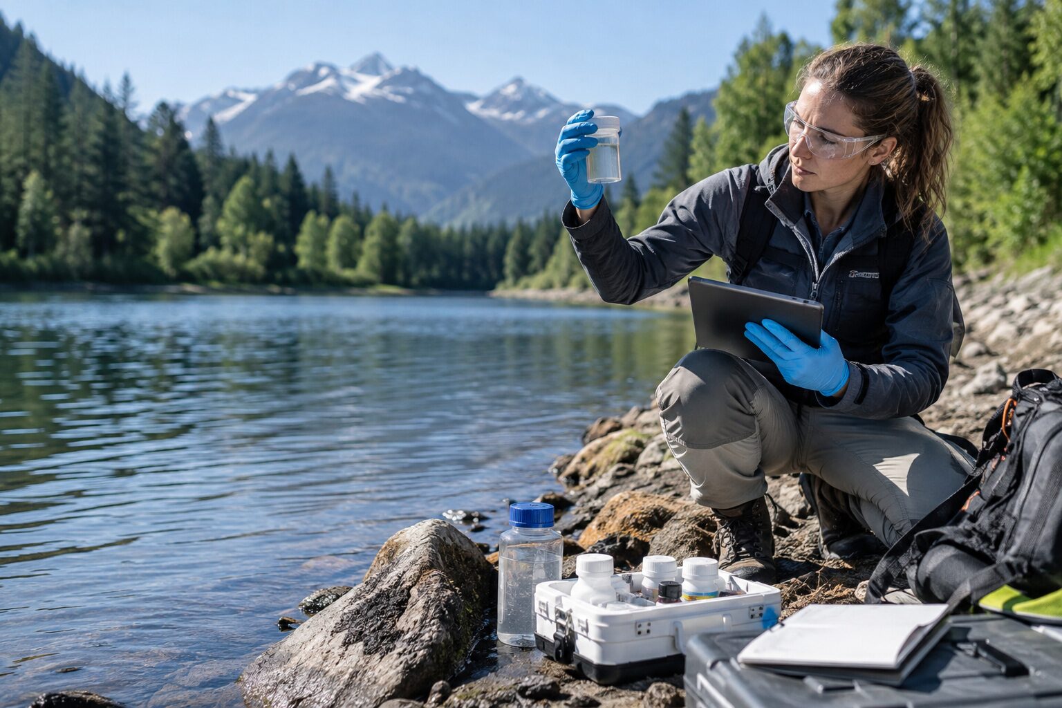
Water, terrain, boundaries and land-development information
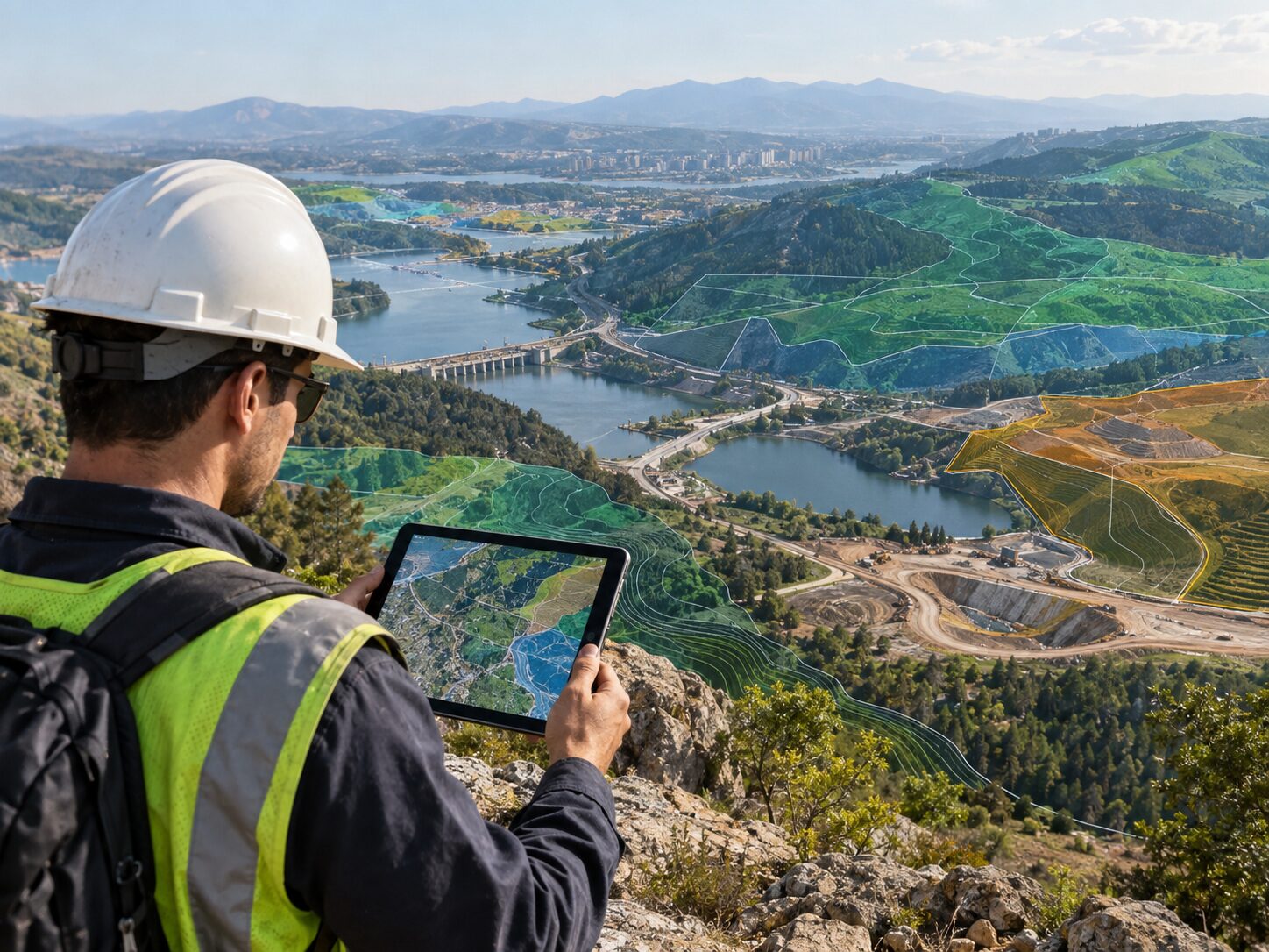
Project-specific investigation and spatial deliverables
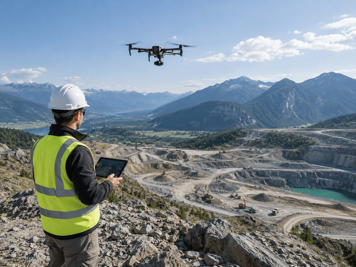
Water, soil, terrain and spatial-analysis support
Technology is presented only where verified for the approved project scope. The website focuses on what the data supports and what the client receives.
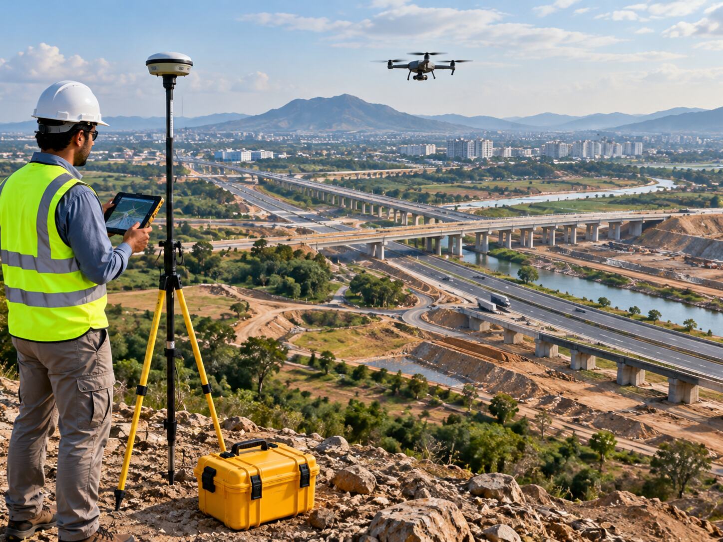 DGPS / RTK
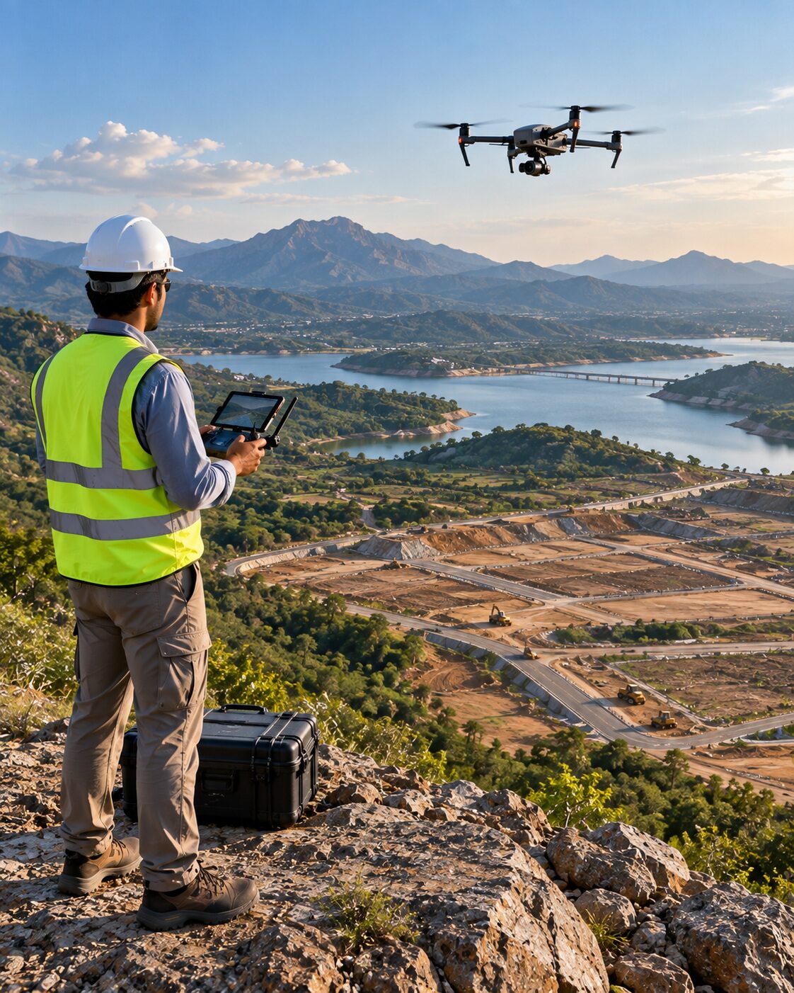 Drone / UAV
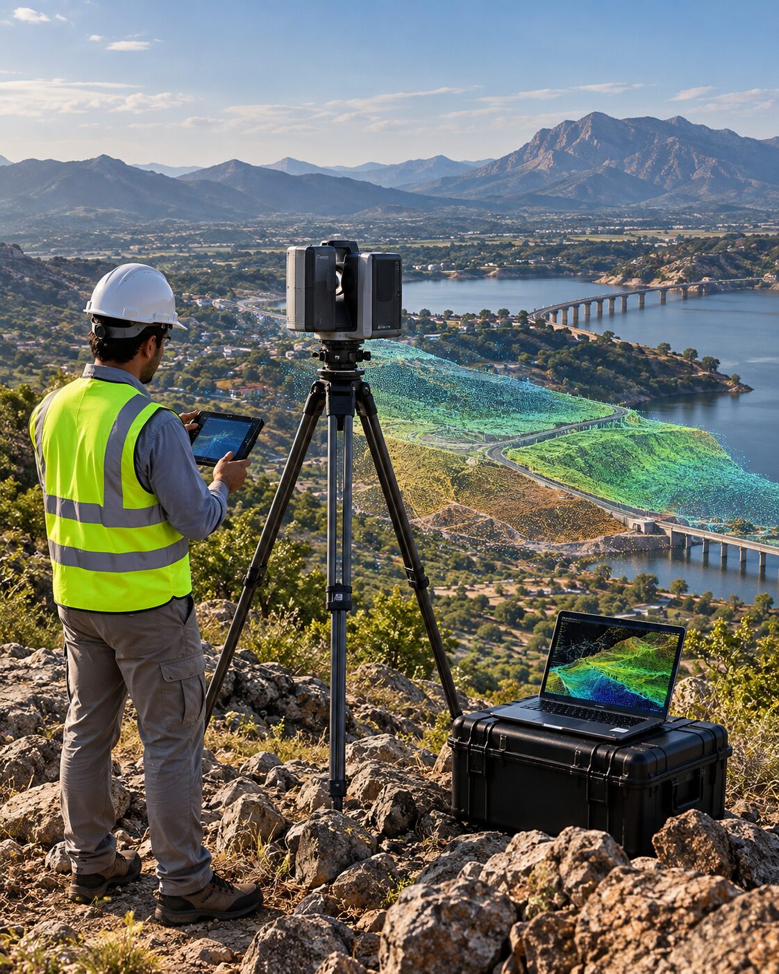 LiDARGIS / Remote Sensing
MRGS is presented as a focused multidisciplinary partner, with trust built through clear methodology, coordinated data and project evidence.
Learn about the company →Connect geology, water, ground investigation, survey and spatial analysis when the project requires it.
Define the approach around the site, decision, required accuracy and final deliverable.
Keep measurements, interpretation and outputs connected through one understandable process.
Explain findings, limitations and next steps in a form project teams can use.
Share the project location, objective, required service, available drawings or coordinates, expected deliverables and preferred timeline. The more context available at the start, the easier it is to define a fit-for-purpose scope.
Yes. A project may require geology, groundwater, geotechnical, survey, drone, LiDAR or GIS inputs together. The website and project CMS are structured so one project can be associated with multiple expertise areas.
Depending on the approved scope, deliverables may include reports, maps, coordinates, CAD/GIS-ready data, drawings, point clouds, terrain models, field records or other project-specific technical outputs.
No unsupported guarantees are presented. Investigation and survey results depend on site conditions, methodology, available evidence, equipment, control and the agreed project scope.
Yes. The Connect form accepts approved supporting PDF, JPG and PNG files so available project information can be reviewed with the enquiry.
Share the site location, project objective, required service, timeline and available drawings or records.