Project Experience
Project work, organized by category.
Use the category filters to view the relevant project images and project names across geological, groundwater, geotechnical, mining, survey and geospatial domains.
Why project experience matters
Evidence-based technical credibility for every engagement.
MRGS organizes project experience by category so clients can review relevant work samples. Each project represents a real engagement where field investigation, survey or spatial analysis was applied to support a specific technical decision.
22Project Categories
5+Core Disciplines
100%Field-Verified Work
Browse Project Experience
Explore projects by category.
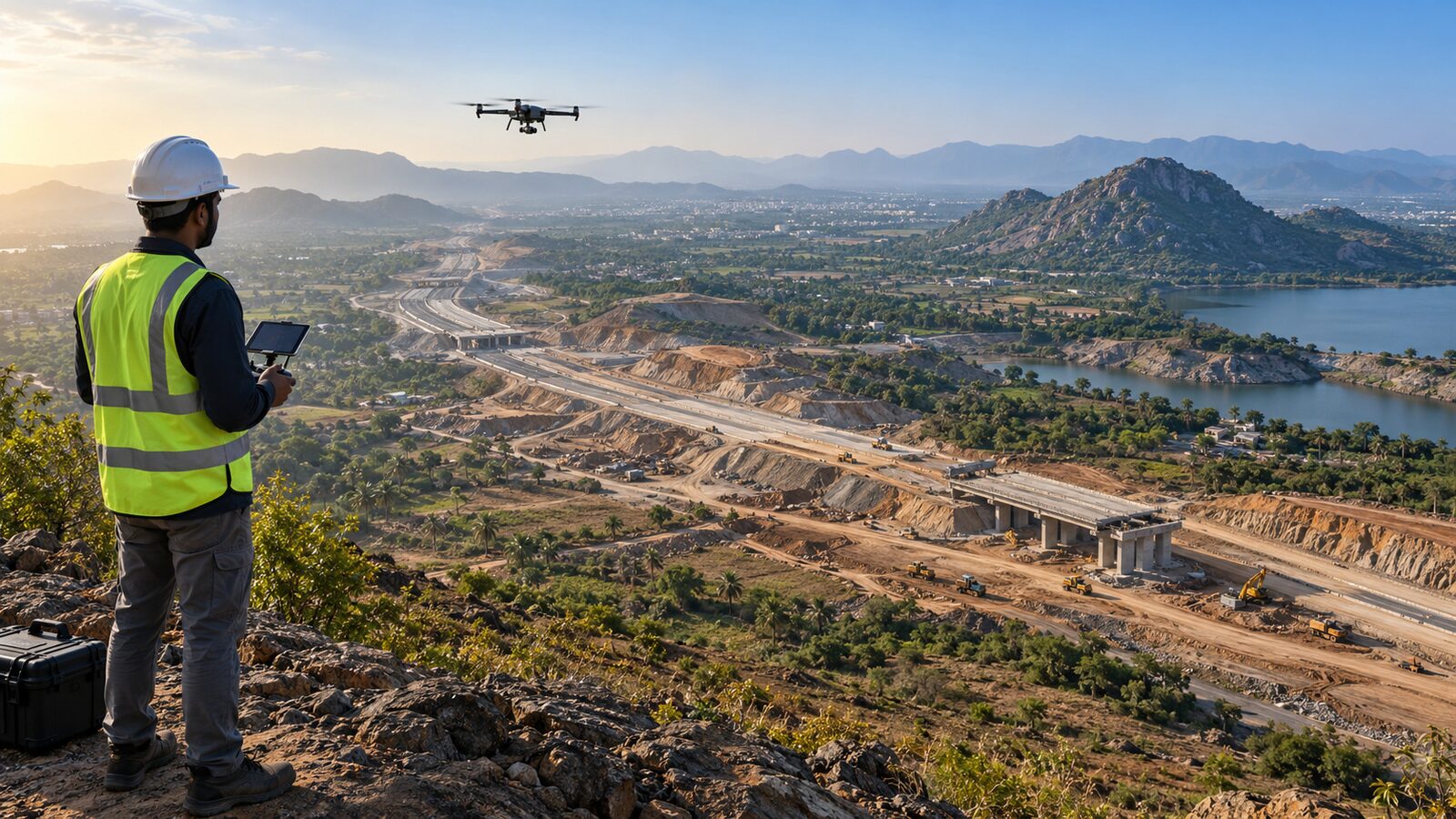
DGPS Land Survey - Coastal Corridor
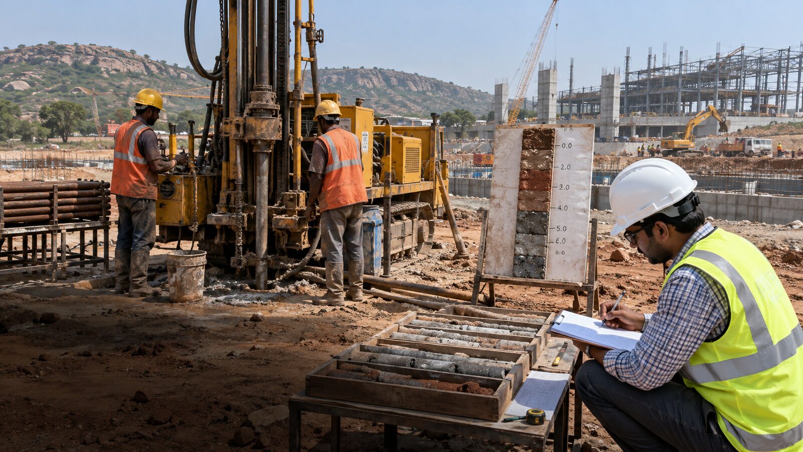
Geotechnical Investigation - Industrial Estate
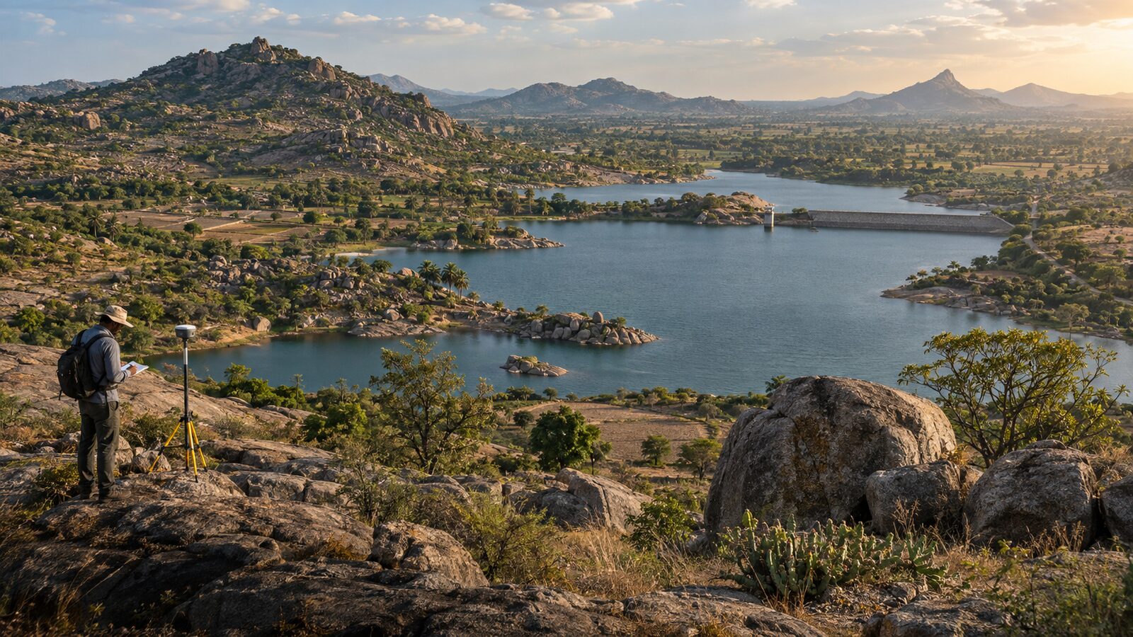
Groundwater Assessment Study - Karaikudi Region
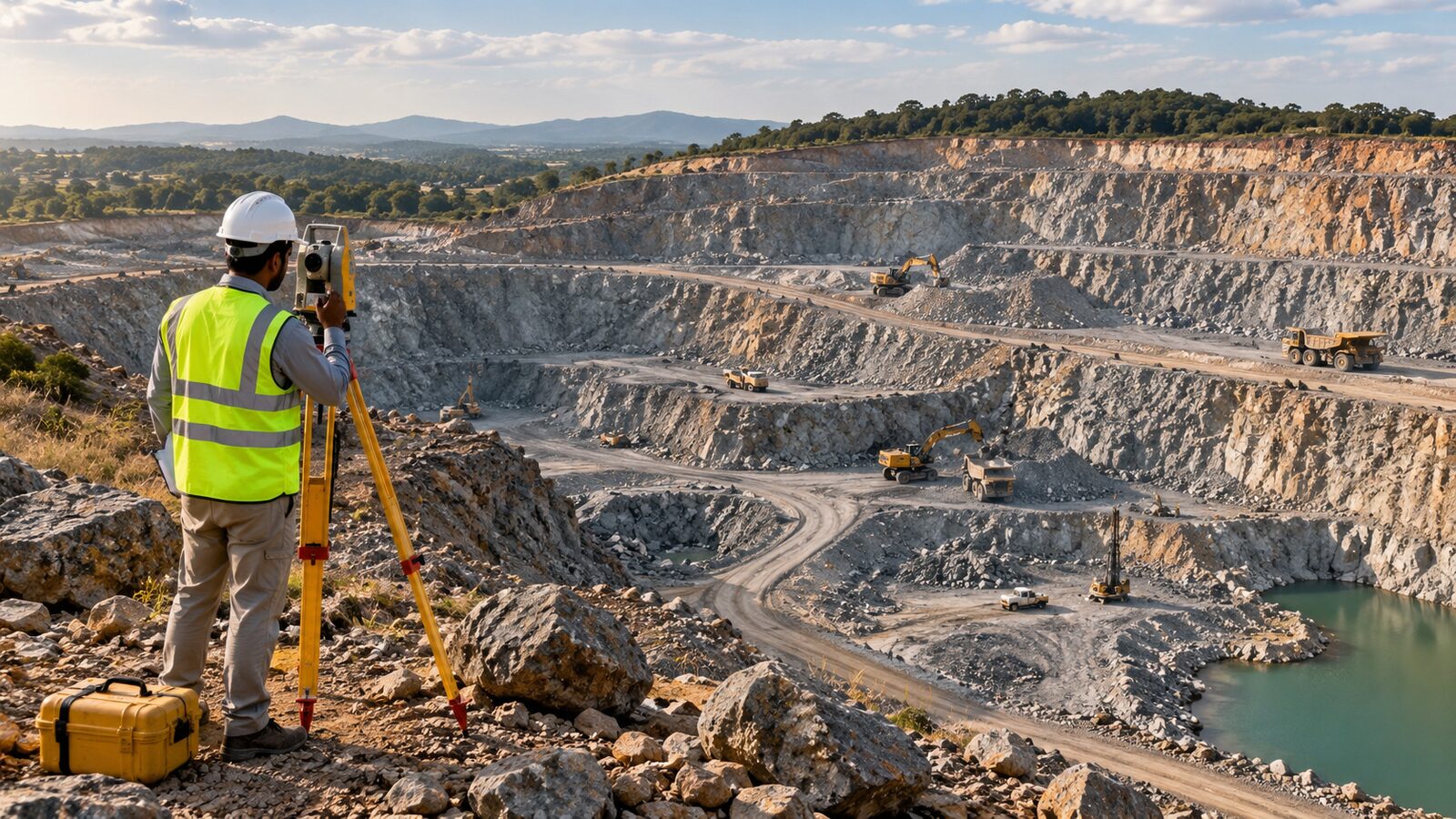
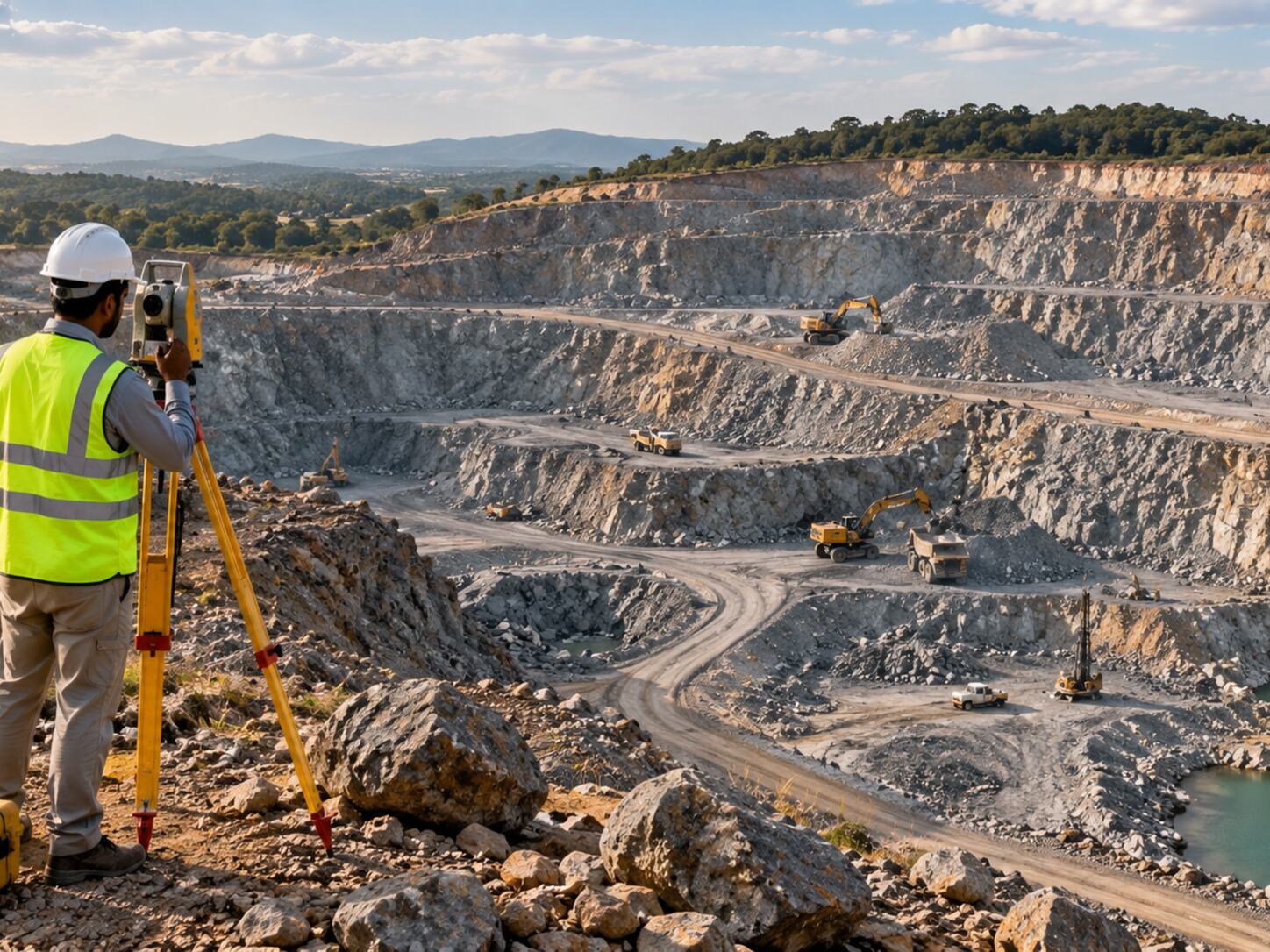
Mining Geological Mapping - Quarry Operations
DGPS Land Survey - Coastal Corridor
Geotechnical Investigation - Industrial Estate
Groundwater Assessment Study - Karaikudi Region
No project is available under this category yet.
Have a project requirement?
Discuss the site and required technical support.
Share the project location, requirement and expected deliverables with the MRGS team.