
Mining Survey & Consultancy
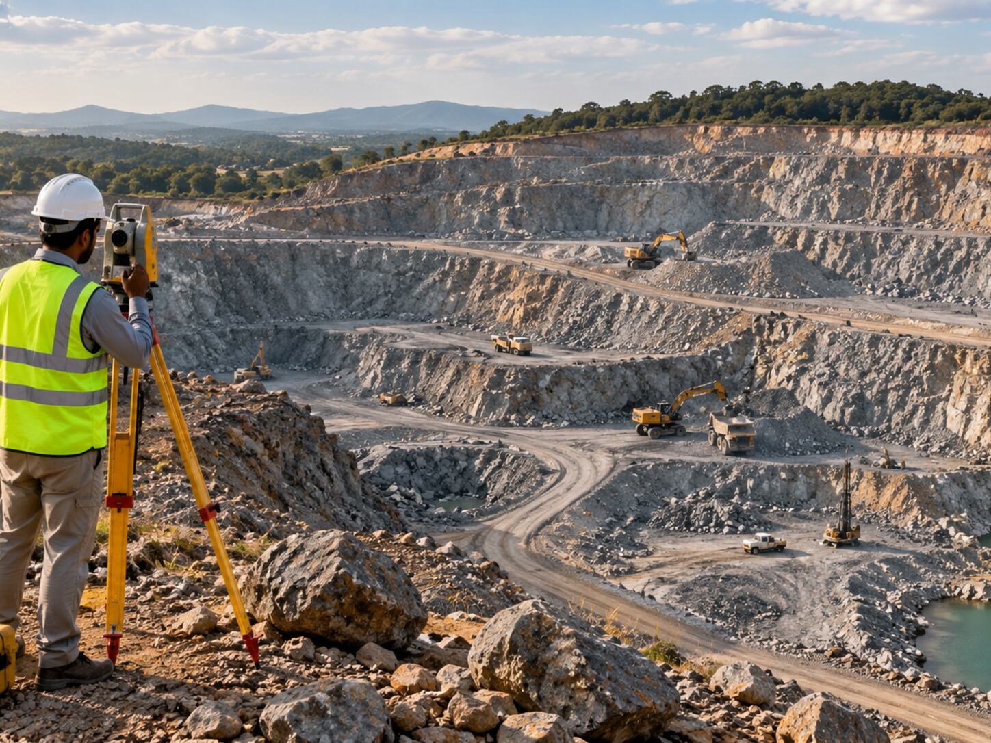
Geological, survey and spatial support for mining and quarry planning, mapping, volume calculations and technical documentation.
Mining Survey & Consultancy Services
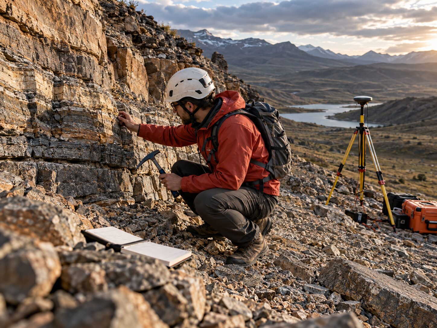
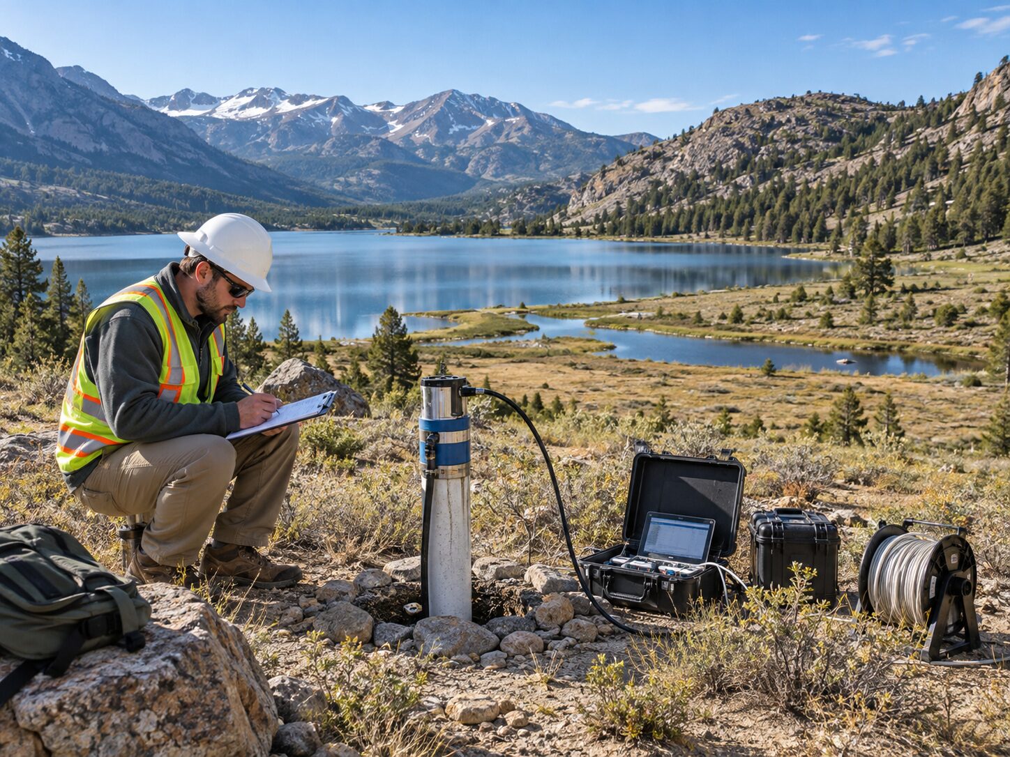
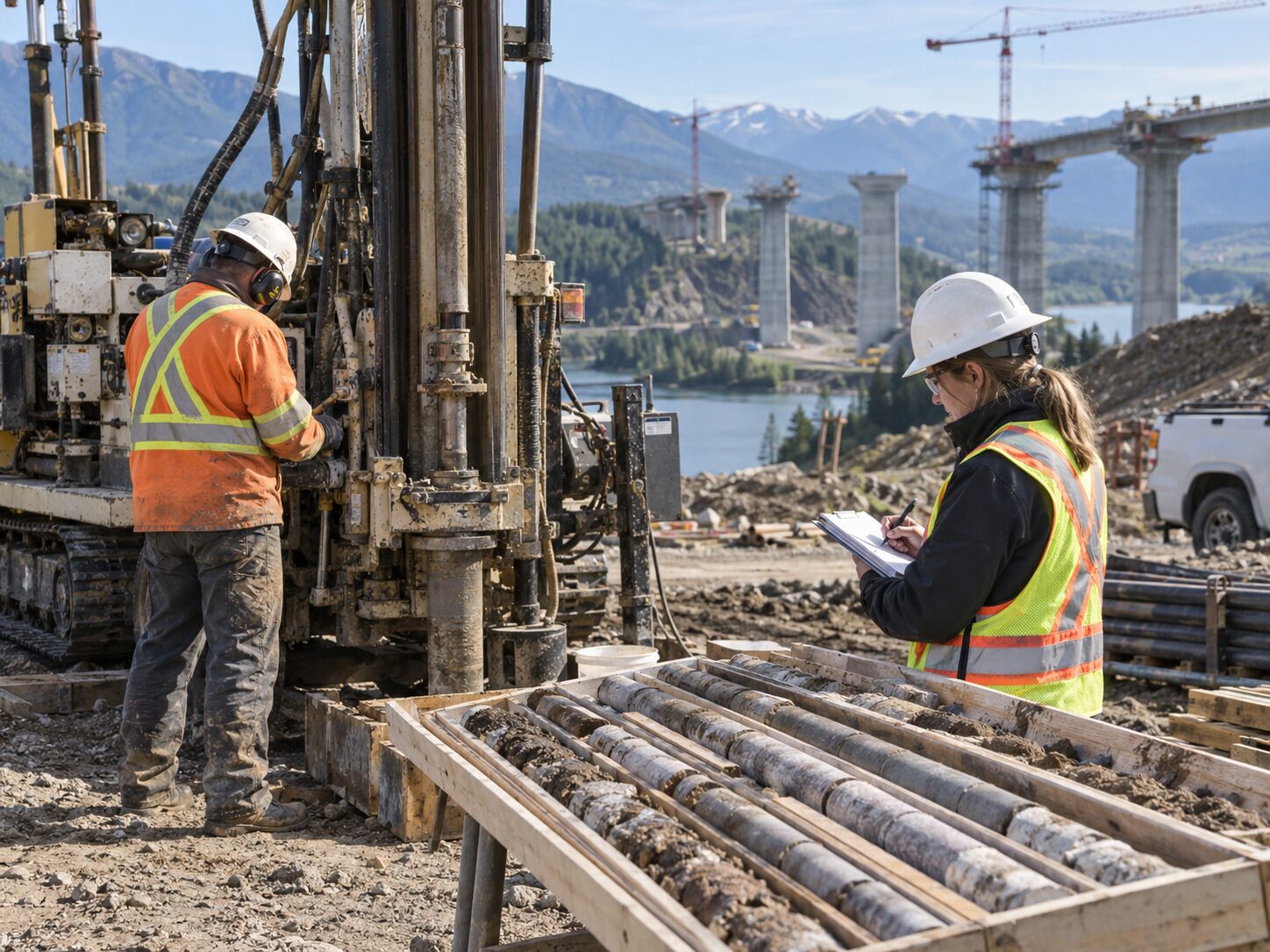
MR Geological Solutions offers mining and quarry survey consultancy including geological mapping, topographic surveys, volume calculations and spatial database preparation. Our mining team supports quarry face mapping, mine planning, boundary surveys and resource estimation workflows with accurate survey data and technical documentation tailored to mining operations.
Technical credibility for Mining projects.
Mine-to-Mill Support
Covers geological mapping, topographic survey, volume calculation and spatial database preparation.
Flexible Project Scoping
Scales investigation and survey requirements based on quarry size, terrain and technical outputs needed.
Accurate Deliverables
Delivers survey plans, terrain data, volume calculations and technical documentation for mining operations.
What Mining covers
How we approach Mining
Confirm project objective and available plans
Establish spatial / survey requirements
Field mapping and measurement
Process terrain / geological information
Check and reconcile datasets
Deliver maps, quantities and technical outputs
What the project receives
Where Mining is applied
Common questions about Mining
MRGS provides mine and quarry survey support, geological mapping, topographic data, volume calculations, spatial database preparation and technical documentation. Services cover quarry face mapping, mine planning support, boundary surveys and resource estimation workflows.
Yes. MRGS scopes the investigation and survey requirements based on project size, terrain conditions and the specific technical outputs required. From small quarry surveys to large-scale mining operations, the approach is tailored to project needs.
Volume calculations are based on verified survey data using DGPS/RTK measurements and drone photogrammetry where applicable. Accuracy depends on terrain complexity, survey density and the measurement method used. MRGS provides accuracy statements with all volume deliverables.
Deliverables include survey plans, coordinates, terrain/contour outputs, geological/spatial maps, volume calculations and project technical reports. All outputs are formatted for mine planning, operations management and regulatory compliance.
MRGS provides technical documentation, spatial data and survey records that support mining regulatory requirements. Deliverables are structured to meet project-specific compliance needs and can be adapted to local regulatory frameworks.

Start a project enquiry for Mining.
Share the site location, project objective and required deliverables.