
Grounded in Science Focused on Better Decisions
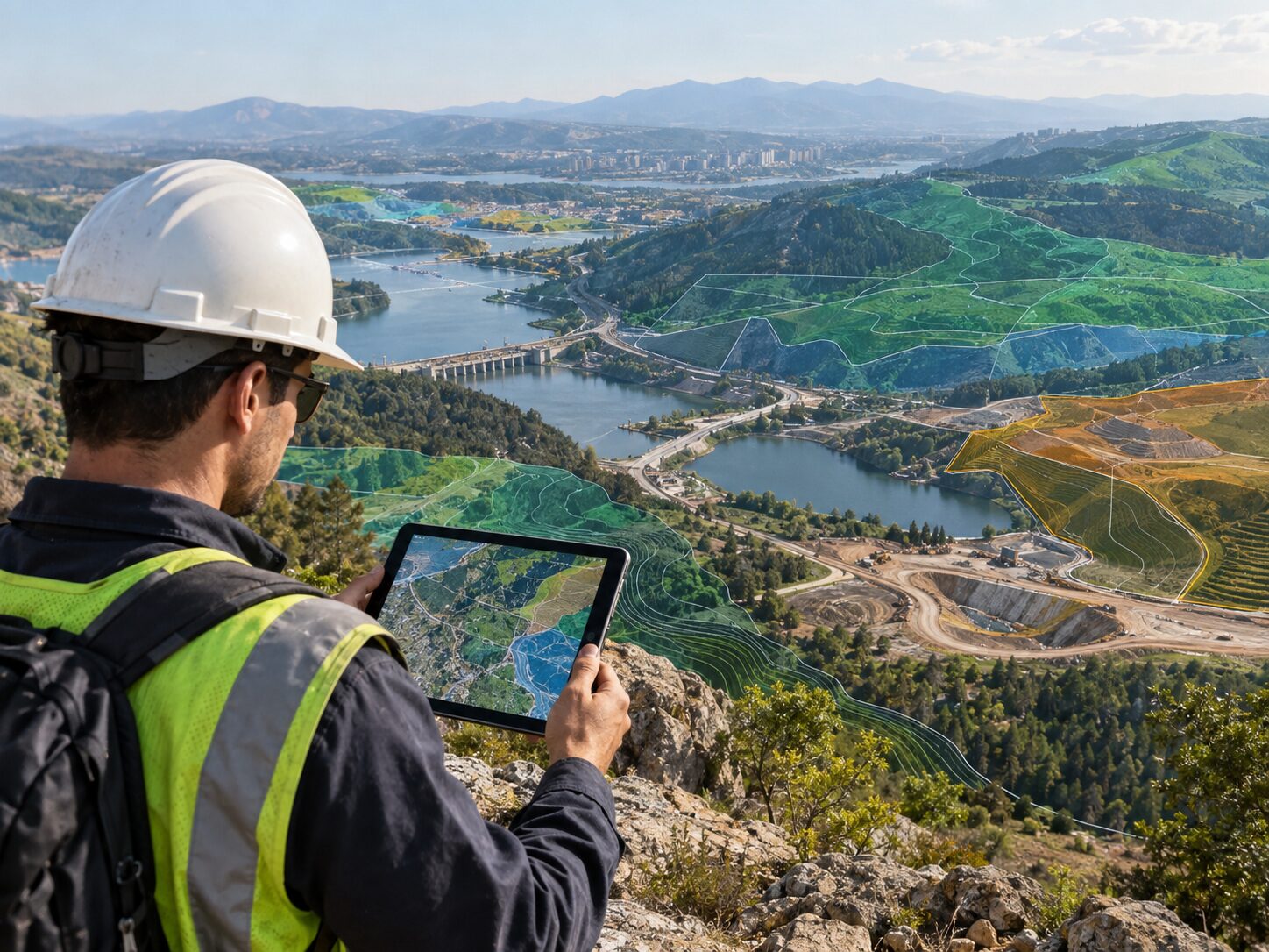
Terrain and geospatial mapping context
Connected capabilities

Multidisciplinary Expertise for Real-World Project Decisions.

MRGS connects subsurface investigation, groundwater, geotechnical engineering, mining, surveying and geospatial workflows in one coordinated practice. Five priority disciplines have dedicated deep-dive pages; six supporting capabilities remain fully visible here.

Integrated expertise for complex projects

One team. Multiple disciplines. Connected workflow.

MRGS provides geological, hydrogeological, geotechnical, mining, surveying and geospatial services under one roof. This integrated approach eliminates disconnected handoffs and ensures every discipline contributes to the same project decision.

GeologyGroundwaterGeotechnicalMiningSurveyDroneLiDARGIS
Explore all expertise

Multidisciplinary services. One coordinated technical pathway.

Geological & Geophysical Investigations by MR Geological Solutions
Priority service

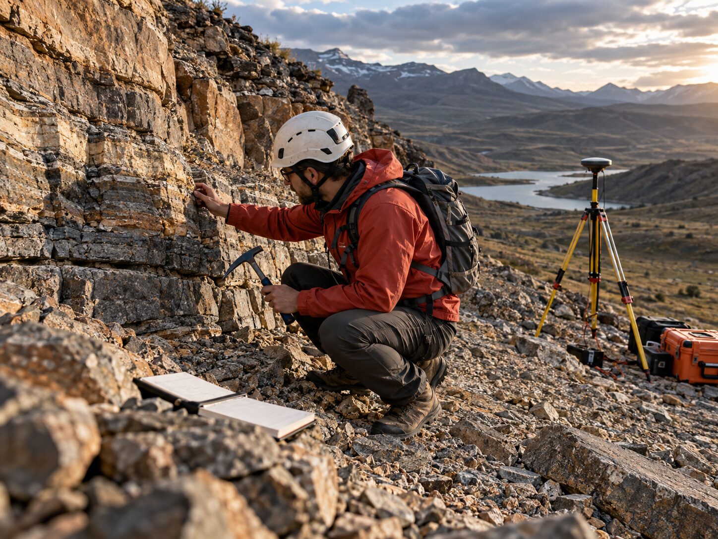
Geological & Geophysical Investigations

Subsurface characterization through geological mapping, resistivity surveys and bedrock assessment for groundwater, mining and infrastructure projects.

Explore service →
Groundwater & Hydrogeology by MR Geological Solutions
Priority service

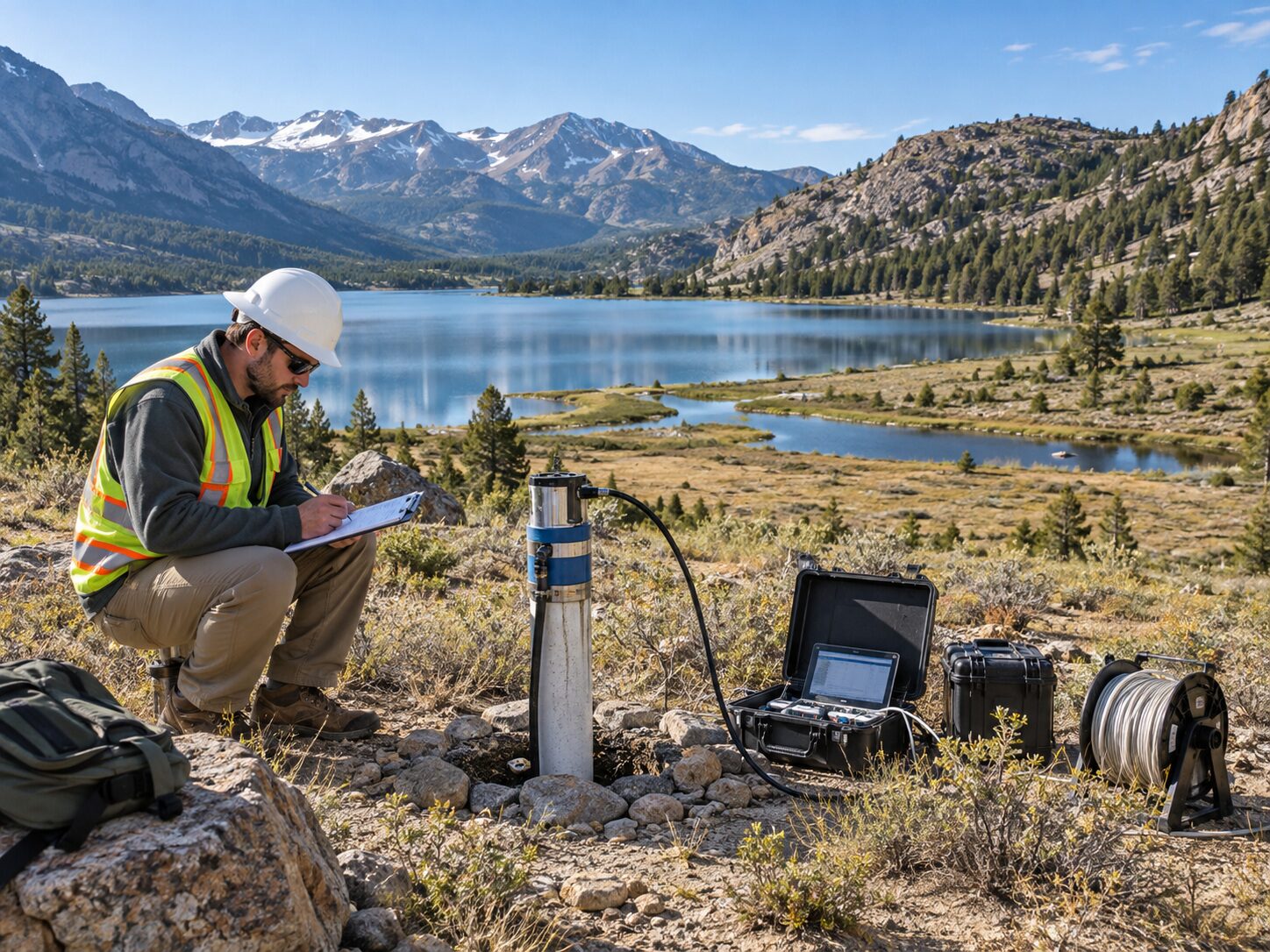
Groundwater & Hydrogeology

Hydrogeological investigation, aquifer characterization and groundwater potential assessment for borewell planning, water supply and watershed management.

Explore service →
Geotechnical Investigation by MR Geological Solutions
Priority service

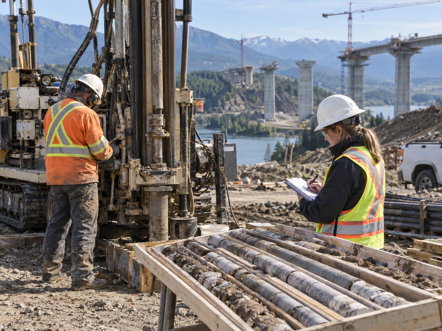
Geotechnical Investigation

Soil, rock and groundwater investigation for building foundations, road corridors, dam sites and industrial facility planning.

Explore service →
Mining Survey & Consultancy by MR Geological Solutions
Priority service

Mining Survey & Consultancy

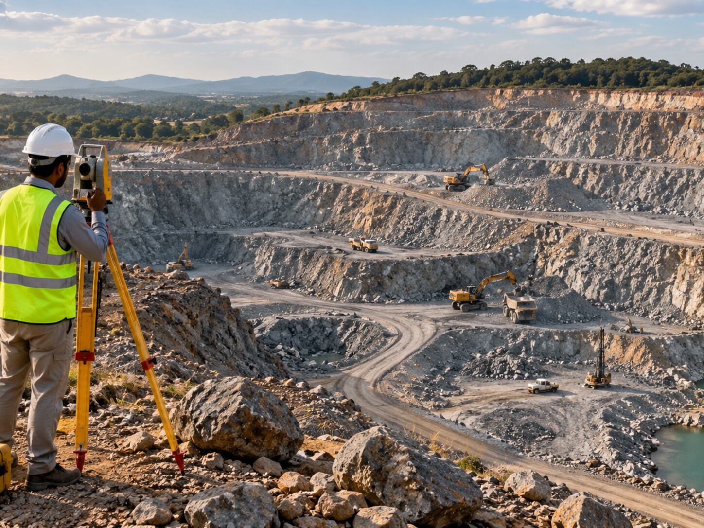
Geological, survey and spatial support for mining and quarry planning, mapping, volume calculations and technical documentation.

Explore service →
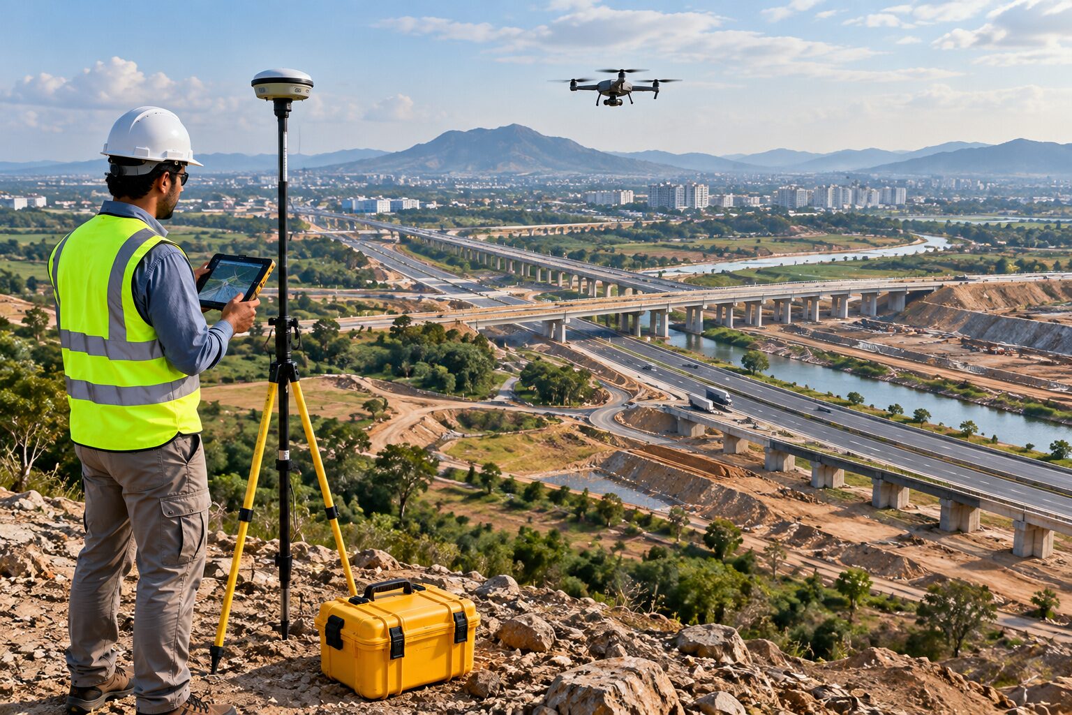
LiDAR / DGPS / RTK Survey by MR Geological Solutions
Priority service

LiDAR / DGPS / RTK Survey

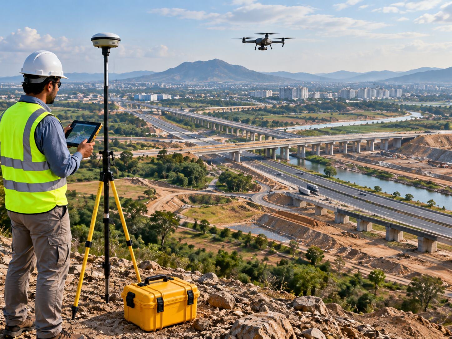
Accurate coordinate, boundary and topographic survey data using DGPS and RTK technology for planning, design and project control.

Explore service →
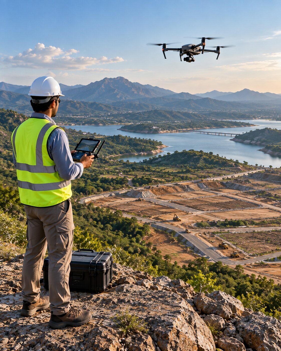
Drone / UAV Survey by MR Geological Solutions
Supporting capability

Drone / UAV Survey

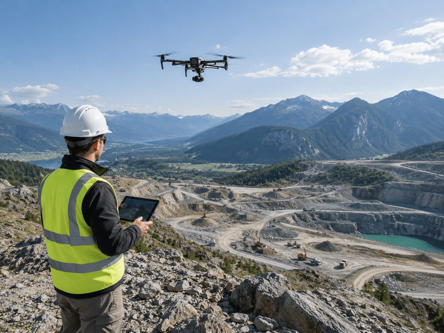
Aerial data capture using drone and UAV technology for site mapping, terrain modeling and inspection workflows.

View capability →
LiDAR Survey & Mapping by MR Geological Solutions
Supporting capability

LiDAR Survey & Mapping

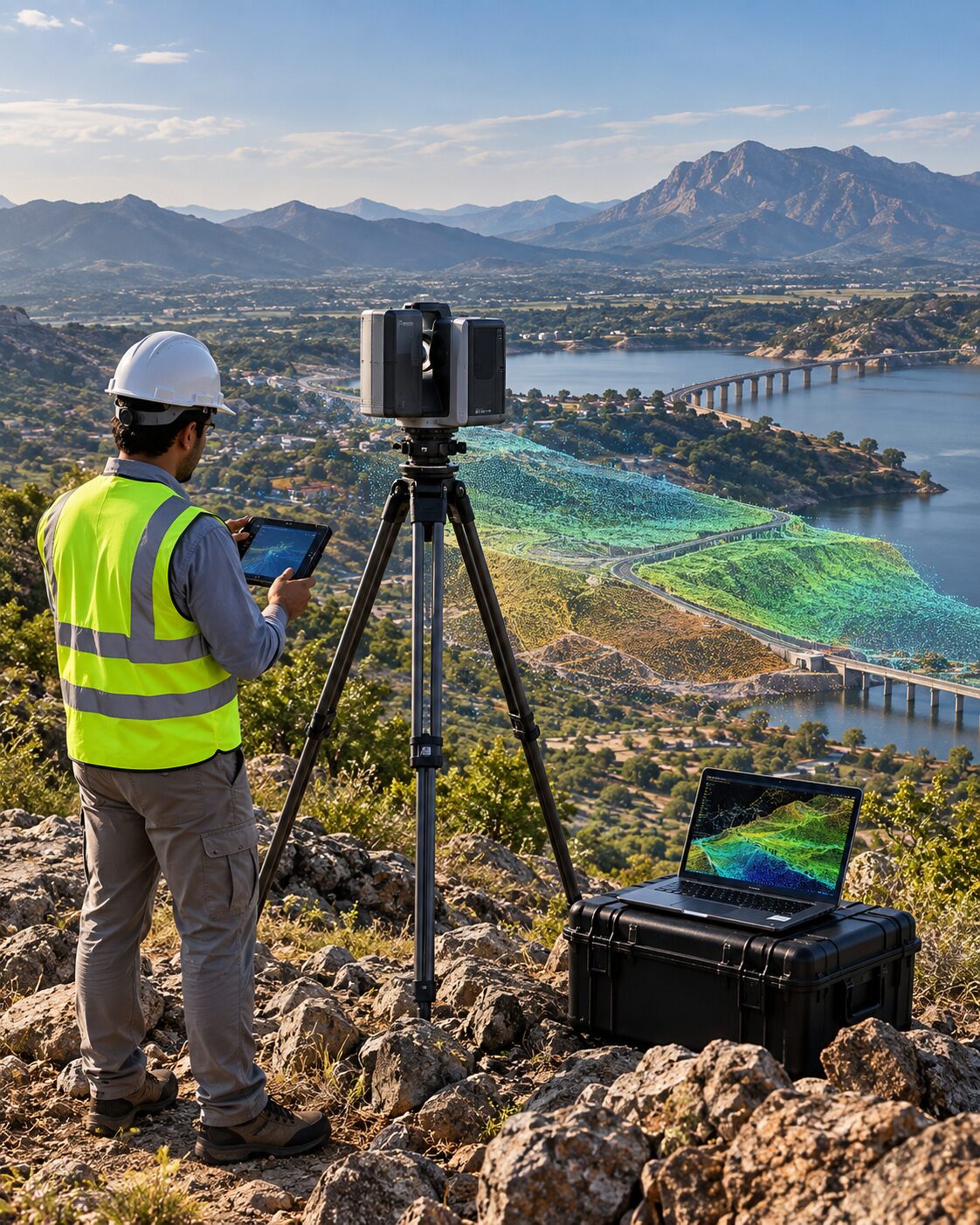
Point-cloud based terrain, surface and 3D mapping workflows for complex sites and infrastructure corridors.

View capability →
Photogrammetry by MR Geological Solutions
Supporting capability

Photogrammetry

Image-based orthomosaic, terrain-model and 3D reconstruction outputs for survey and spatial analysis.

View capability →
Remote Sensing & GIS by MR Geological Solutions
Supporting capability

Remote Sensing & GIS

Satellite, field and project datasets transformed into GIS maps, spatial analysis and decision-support information.

View capability →
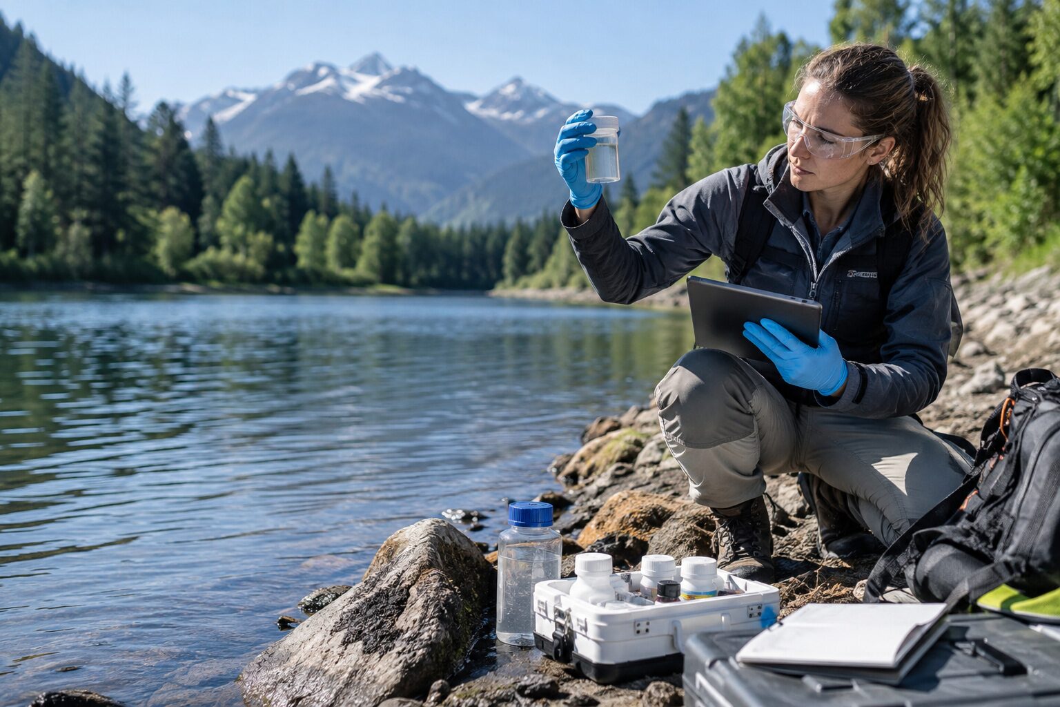
Water / Soil Studies by MR Geological Solutions
Supporting capability

Water / Soil Studies

Representative water and soil sampling, testing coordination and technical interpretation for project assessments.

View capability →
Infrastructure Mapping by MR Geological Solutions
Supporting capability

Infrastructure Mapping

Survey and geospatial mapping support for sites, corridors, utilities and infrastructure planning.

View capability →
Supporting capabilities

Six additional services with substantial on-page detail.

Drone / UAV Survey
Supporting capability

Drone / UAV Survey

Aerial data capture using drone and UAV technology for site mapping, terrain modeling and inspection workflows. MRGS structures the scope around the site coverage, coordinate framework, project question, required level of detail and final output.

Aerial site captureProgress documentationTerrain / surface modelingInspection imagery
LiDAR Survey & Mapping
Supporting capability

LiDAR Survey & Mapping

Point-cloud based terrain, surface and 3D mapping workflows for complex sites and infrastructure corridors. MRGS structures the scope around the site coverage, coordinate framework, project question, required level of detail and final output.

Point-cloud capture / processingTerrain and surface extraction3D mapping workflowsInfrastructure / corridor context
Photogrammetry
Supporting capability

Photogrammetry

Image-based orthomosaic, terrain-model and 3D reconstruction outputs for survey and spatial analysis. MRGS structures the scope around the site coverage, coordinate framework, project question, required level of detail and final output.

Orthomosaic generationImage-based 3D reconstructionDEM / DTM workflowsMeasured visual records
Remote Sensing & GIS
Supporting capability

Remote Sensing & GIS

Satellite, field and project datasets transformed into GIS maps, spatial analysis and decision-support information. MRGS structures the scope around the site coverage, coordinate framework, project question, required level of detail and final output.

Satellite / raster interpretationGIS database preparationSpatial overlays and analysisDecision-support mapping
Water / Soil Studies
Supporting capability

Water / Soil Studies

Representative water and soil sampling, testing coordination and technical interpretation for project assessments. MRGS structures the scope around the site coverage, coordinate framework, project question, required level of detail and final output.

Representative sampling plansTesting coordinationResult organizationTechnical interpretation
Infrastructure Mapping
Supporting capability

Infrastructure Mapping

Survey and geospatial mapping support for sites, corridors, utilities and infrastructure planning. MRGS structures the scope around the site coverage, coordinate framework, project question, required level of detail and final output.

Corridor / site mappingFeature and utility contextSurvey / GIS integrationPlanning-ready spatial outputs
Not sure which service fits?

Start with the project objective.

Share the site, project type, available information and desired output.

Chat with us