
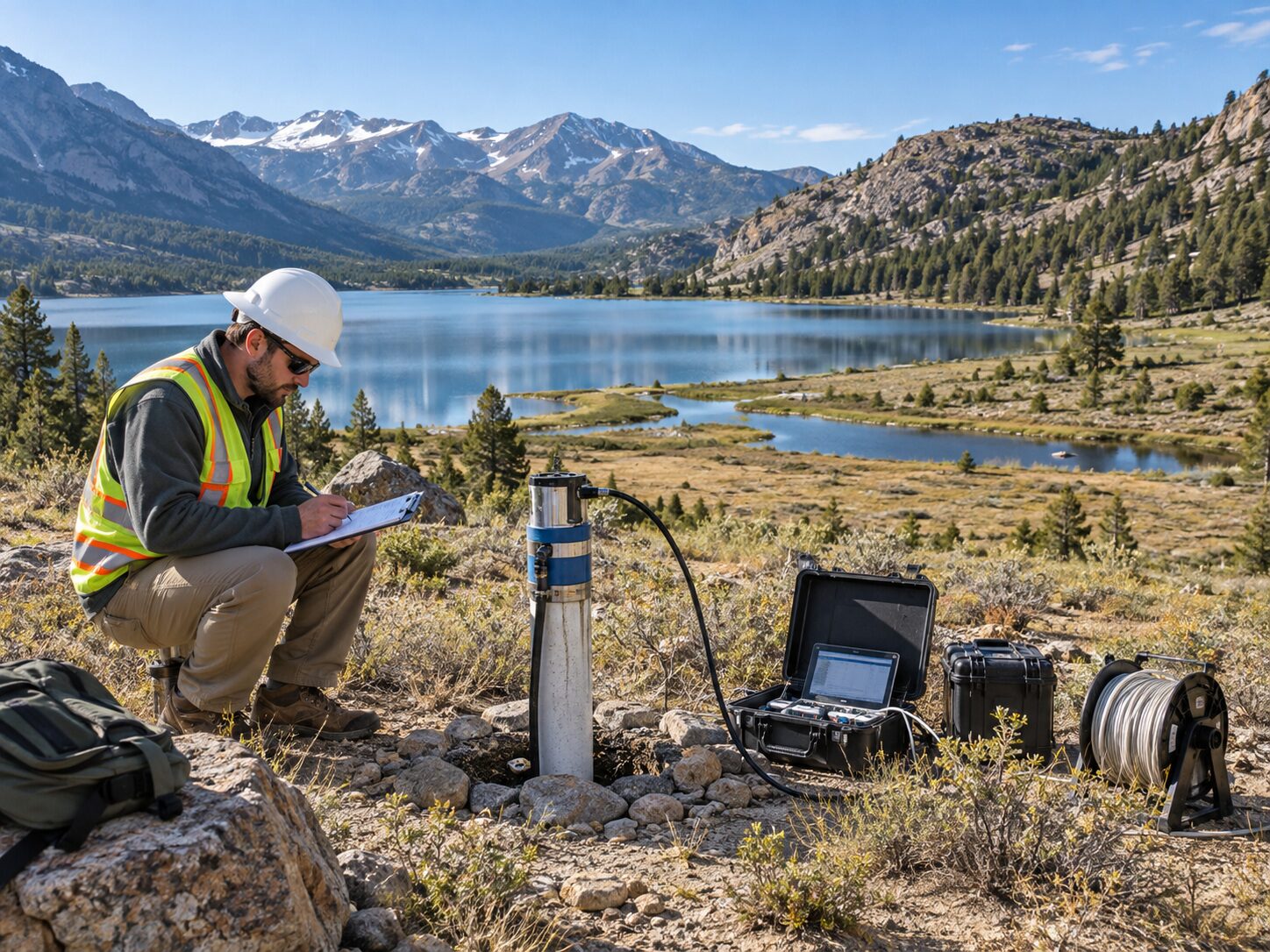
Groundwater & Hydrogeology
Hydrogeological investigation, aquifer characterization and groundwater potential assessment for borewell planning, water supply and watershed management.
Groundwater & Hydrogeology Services
MR Geological Solutions delivers professional hydrogeological investigation and groundwater assessment services for water supply projects, borewell planning and watershed management. Our hydrogeology team integrates geological mapping, geophysical data and field observations to evaluate aquifer conditions, groundwater potential and recharge factors. We provide clear recommendations backed by site-specific evidence for confident water-resource decisions.
Technical credibility for Groundwater projects.
Evidence-Based Assessment
Integrates geological, geophysical and hydrogeological data for site-specific groundwater evaluation.
Borewell Planning Support
Identifies potential borewell targets and recommends investigation locations based on subsurface evidence.
Clear Technical Communication
Explains aquifer conditions, limitations and recommendations in practical, project-ready format.
What Groundwater covers
How we approach Groundwater
Define water requirement and site boundary
Review terrain, geology and available records
Field reconnaissance and hydrogeological observations
Integrate suitable geophysical / spatial data where required
Interpret aquifer and recharge context
Report limitations, targets and next-step recommendations
What the project receives
Where Groundwater is applied
Common questions about Groundwater
A hydrogeological investigation studies groundwater conditions, aquifer properties, recharge factors and water-resource potential. It supports borewell planning, water-supply assessment, watershed management and drought assessment decisions with site-specific technical evidence.
Yes. MRGS integrates geological, geophysical and hydrogeological data to identify potential borewell targets and recommend investigation locations. The recommendation is based on subsurface evidence including lithology, fracture zones, aquifer indicators and existing water-point data.
No. Investigation results indicate potential and probability based on available evidence. Actual groundwater conditions depend on subsurface variability, seasonal factors and geological conditions beyond the investigation scope. MRGS clearly communicates limitations and confidence levels in all reports.
MRGS integrates geological mapping, geophysical survey data, existing borewell records, terrain analysis, rainfall data and field observations. The assessment combines multiple data sources to evaluate aquifer conditions and groundwater potential for the project area.
Reports include site observations, aquifer interpretation, recharge context, groundwater potential mapping and recommended next investigation steps. The level of detail matches the approved project scope and is structured for project-team decision-making.
Start a project enquiry for Groundwater.
Share the site location, project objective and required deliverables.