
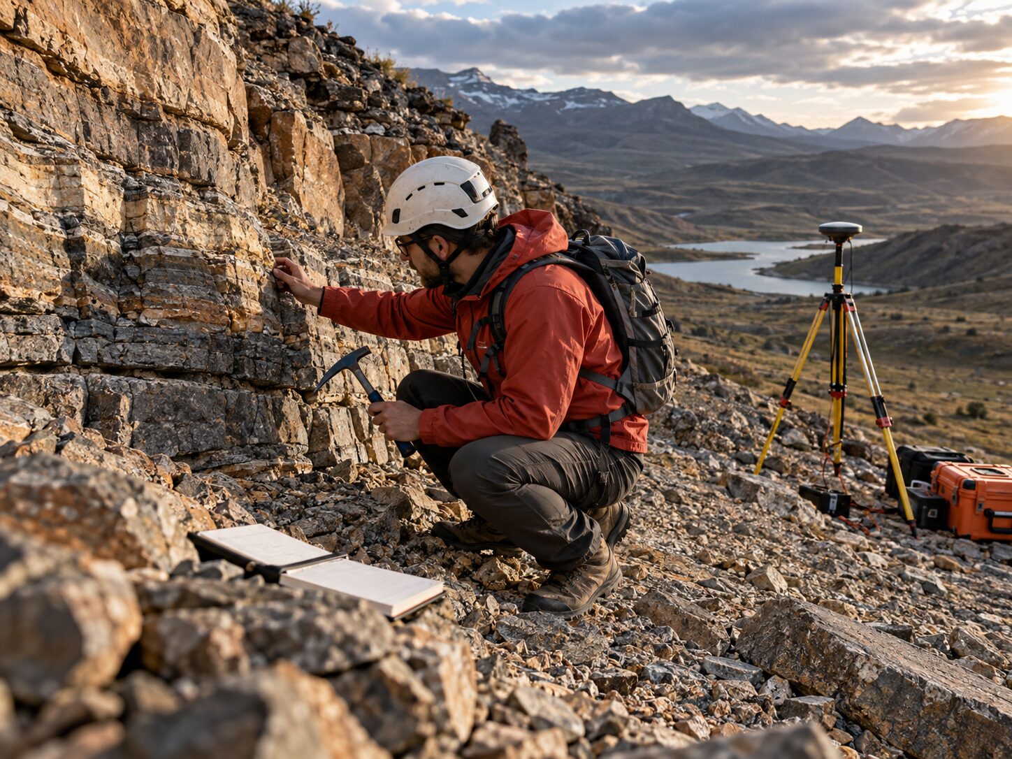
Geological & Geophysical Investigations
Subsurface characterization through geological mapping, resistivity surveys and bedrock assessment for groundwater, mining and infrastructure projects.
Geological & Geophysical Investigations Services
MR Geological Solutions provides comprehensive geological and geophysical investigation services across India and international project environments. Our multidisciplinary team combines field geological reconnaissance, electrical resistivity surveys, bedrock assessment and fracture-zone interpretation to deliver actionable subsurface data. We support groundwater exploration, mining projects, infrastructure planning and environmental site characterization with clear, decision-ready technical reports.
Technical credibility for Geology & Geophysics projects.
Multidisciplinary Approach
Combines geological mapping, geophysical surveys and technical interpretation in one coordinated workflow.
Field-Verified Data
Every investigation is backed by site-specific field observations, measurements and professional-grade equipment.
Decision-Ready Reports
Clear maps, profiles and technical findings formatted for project teams, engineers and decision-makers.
What Geology & Geophysics covers
How we approach Geology & Geophysics
Requirement and site-context review
Available map / coordinate / record review
Field reconnaissance and investigation plan
Geological / geophysical data acquisition
Processing, correlation and technical interpretation
Clear maps, findings and recommendations
What the project receives
Where Geology & Geophysics is applied
Common questions about Geology & Geophysics
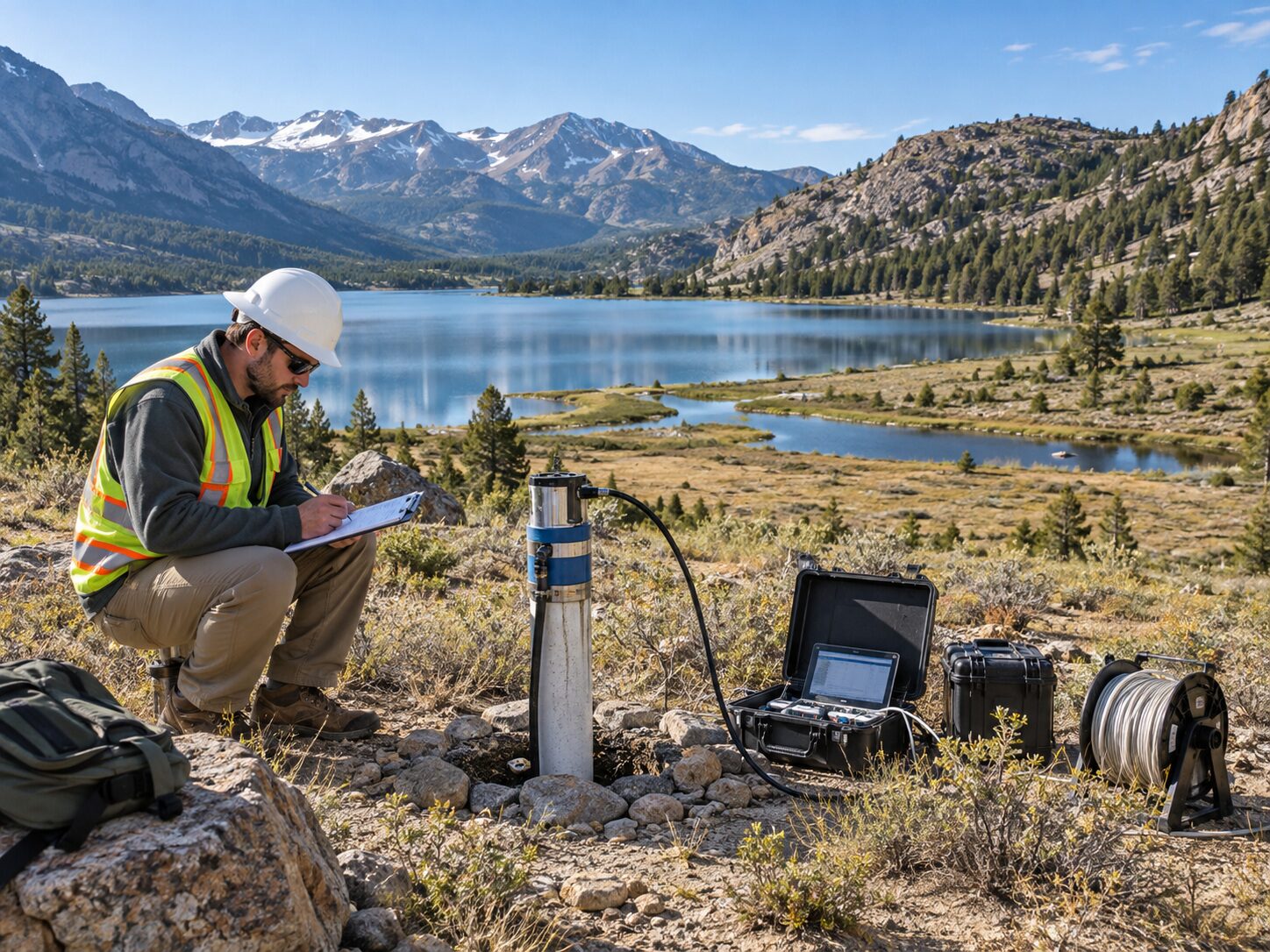
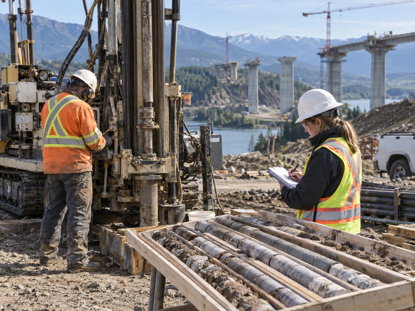
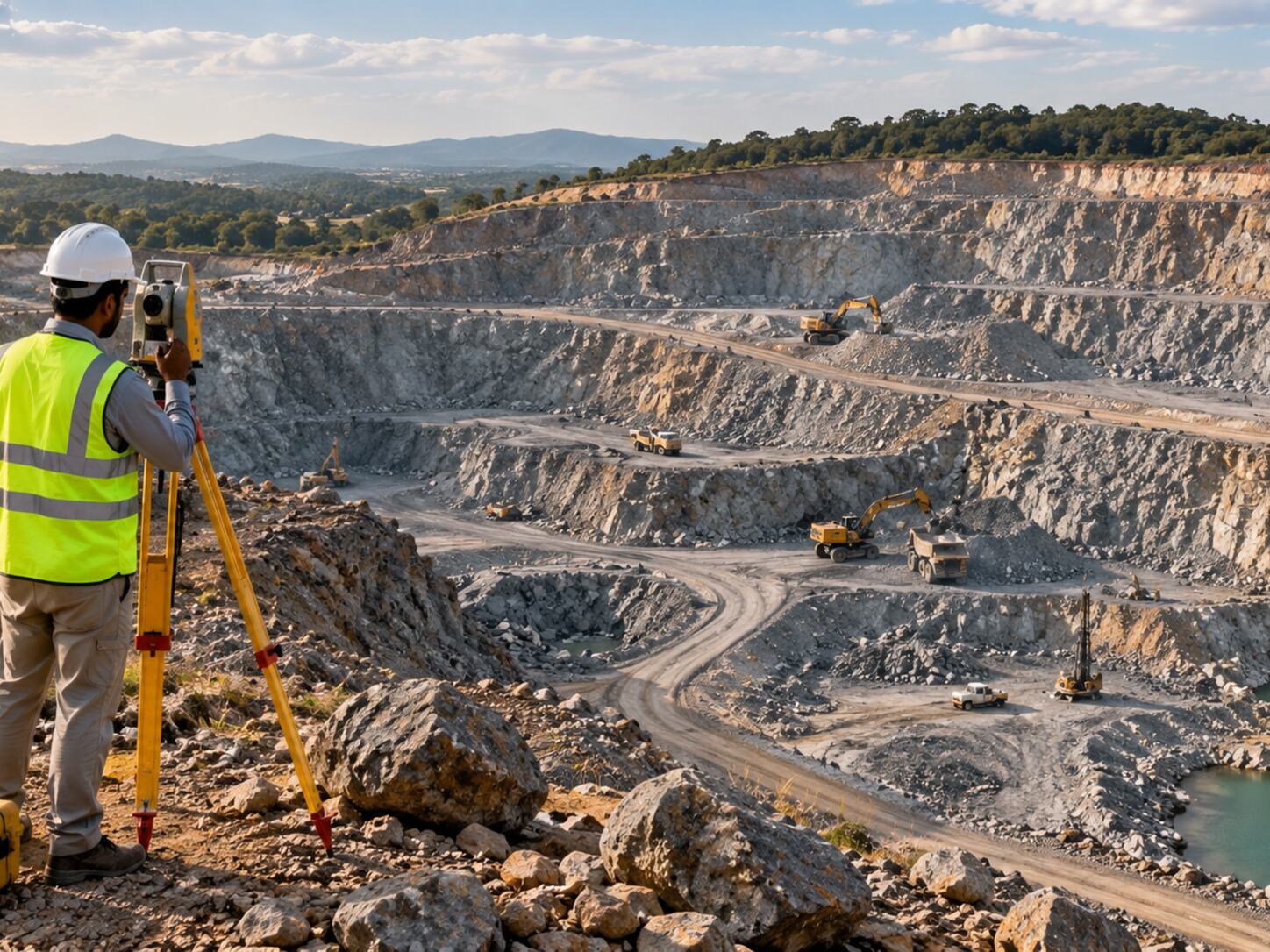
MRGS provides geological reconnaissance, lithology mapping, electrical resistivity surveys, bedrock assessment, fracture-zone interpretation and site-specific technical studies. Our services support groundwater exploration, mining projects, infrastructure corridor assessment, industrial site planning and environmental site characterization across diverse terrain conditions.
Duration depends on site size, terrain accessibility, investigation depth and data requirements. A preliminary geological assessment may take a few days, while a comprehensive investigation with multiple survey methods may require several weeks. MRGS provides a timeline estimate during the scoping phase based on project-specific factors.
Typical deliverables include geological maps, interpretation profiles, field records, anomaly reports, technical findings and recommendations. All outputs are formatted for project-team use and delivered as reports, CAD/GIS-ready datasets or maps depending on the approved scope.
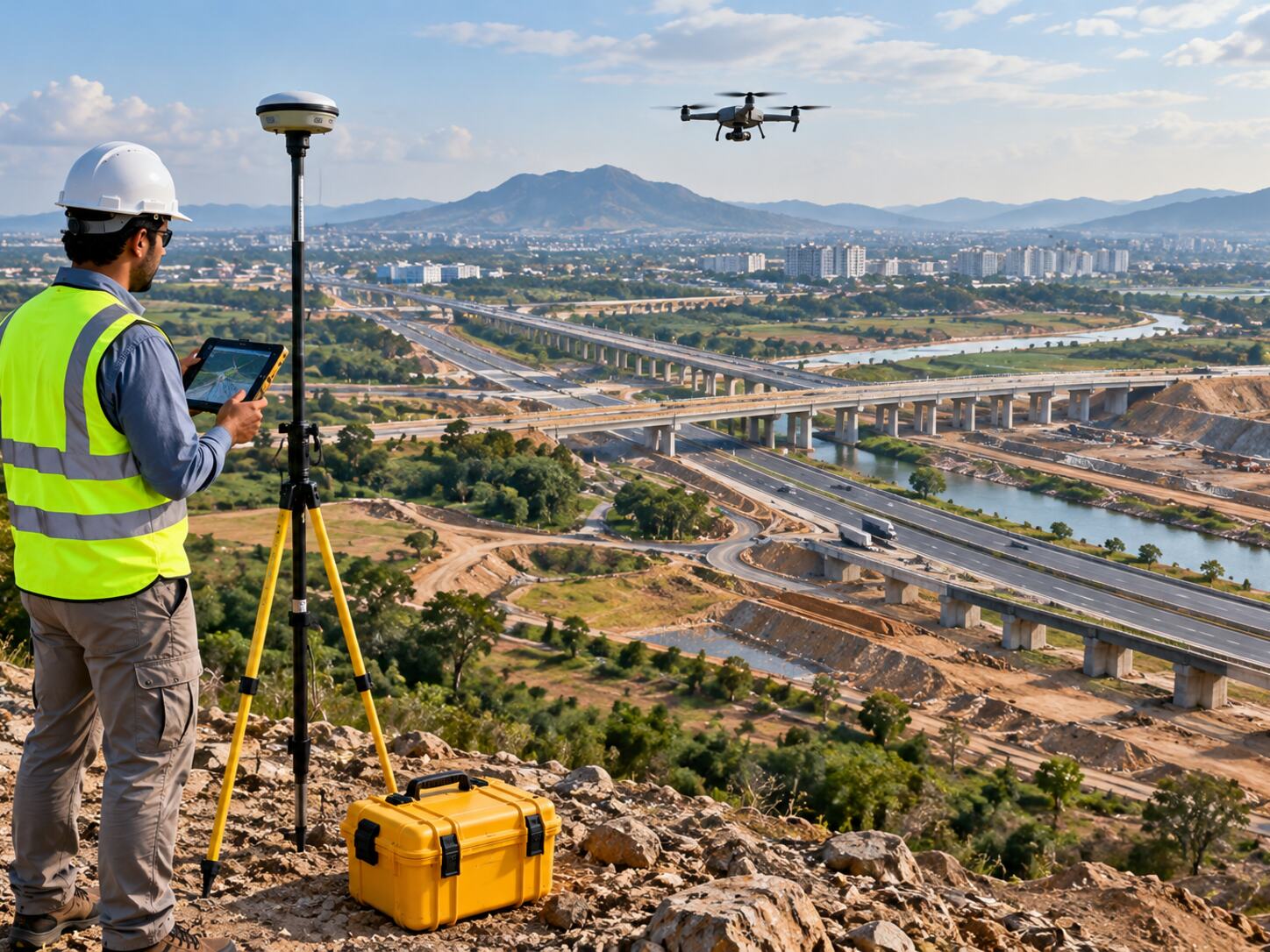
MRGS uses professional-grade electrical resistivity tomography (ERT) equipment, geological mapping tools, GPS/GNSS devices and field instrumentation appropriate for the investigation scope. Equipment selection is matched to site conditions and project accuracy requirements.
Yes. Geological investigation is frequently combined with geophysical surveys, groundwater assessment, geotechnical investigation, drone mapping and GIS analysis. The integrated MRGS approach ensures one coordinated technical workflow for projects requiring multiple disciplines.
Start a project enquiry for Geology & Geophysics.
Share the site location, project objective and required deliverables.