
Deliver practical technical information for better project decisions.
Bring together field evidence, spatial data and disciplined interpretation in a form project teams can use.
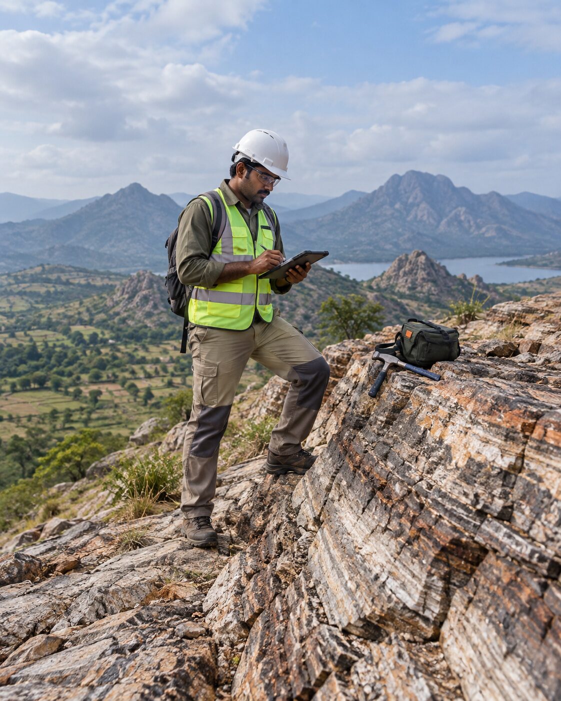
MR Geological Solutions connects field investigation, surveying and geospatial analysis through a clear technical workflow.
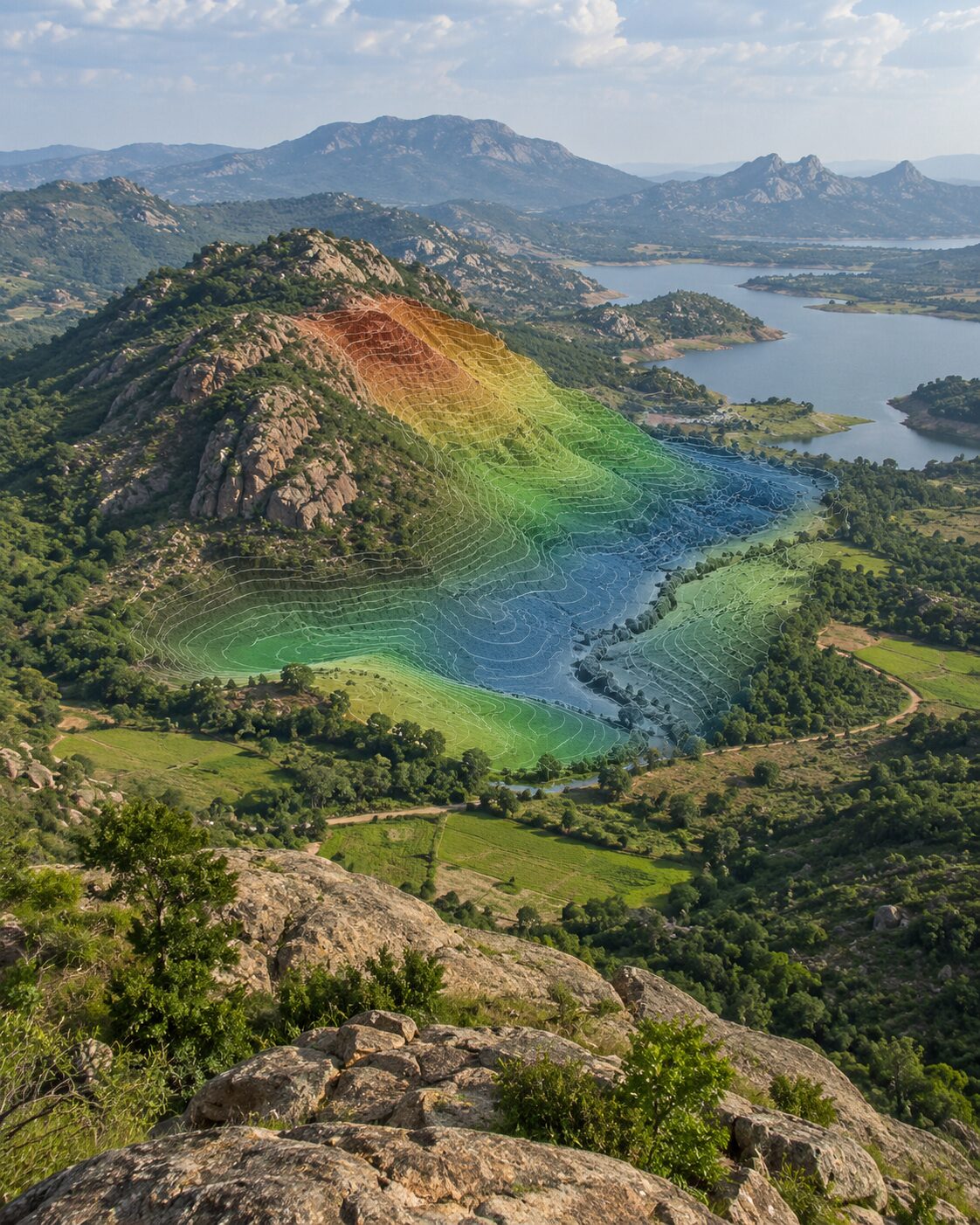
MR Geological Solutions was founded in 2013 and incorporated in 2022. These and all corporate facts should be published only after final management verification.
The service model connects geology, hydrogeology, geotechnical investigation, mining, land survey, drone / LiDAR workflows and GIS so project teams can move from field observations to structured technical deliverables with fewer disconnected handoffs.
Bring together field evidence, spatial data and disciplined interpretation in a form project teams can use.
Grow through credible project work, clear communication and technology that improves decision quality.
Use fit-for-purpose methods, communicate limitations clearly and keep client/project needs at the center of the workflow.
Geology, groundwater, geotechnical, mining, survey, drone, LiDAR, GIS and infrastructure mapping — all under one roof. One team handles the full technical workflow.
Every discipline stays connected through the same project plan. No disconnected handoffs, no misaligned data — just coordinated field-to-deliverable output.
Every recommendation starts with verified field evidence. We measure, observe and test before interpreting — because decisions need evidence, not assumptions.
Reports, maps, coordinates, CAD/GIS datasets and terrain models — formatted for the project team to use immediately without rework or guesswork.
We explain findings, limitations and next steps in plain language. Every client understands what the data says and what decision it supports.
Fit-for-purpose methods, documented processes and transparent reporting. We never overstate results or make unsupported guarantees.
Buildings, industrial facilities, site development
Roads, corridors, utilities, public works
Survey, geology, terrain and volume workflows
Groundwater, recharge, watershed studies
Site investigation, survey control, mapping
Water, soil, terrain and spatial analysis
Water, terrain, boundaries, land development
Project investigation and spatial deliverables
The project enquiry flow captures the information needed to start a technical discussion.